Don't like the adverts?  Click here to remove them

Portugal

This was very much a change of game plan.

The original plan started at Braganca and ends up at Evora, with camping at different sites along the way, or rough camping on the track.

This was changed for a few reasons - each day was planned for between 60 and 70 miles of tracks, which was waaay too ambitious, we should have said 30 to 40 - the lack of current mapping didnt help, although we managed some good compass work (this is modern europe!) The campsites we hoped to find werent there, there are only about 100 in the country and many of these didnt actually qualify as campsites!

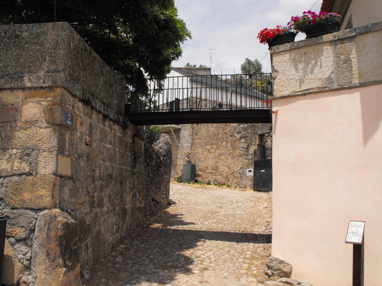
So we stayed at Valhoeles for 3 nights, and a good decision it was. From there we went and did the end of the previous days route we hadnt completed, we spent a day on the next route from the book, including a visit to Almeida, a Star Fort:
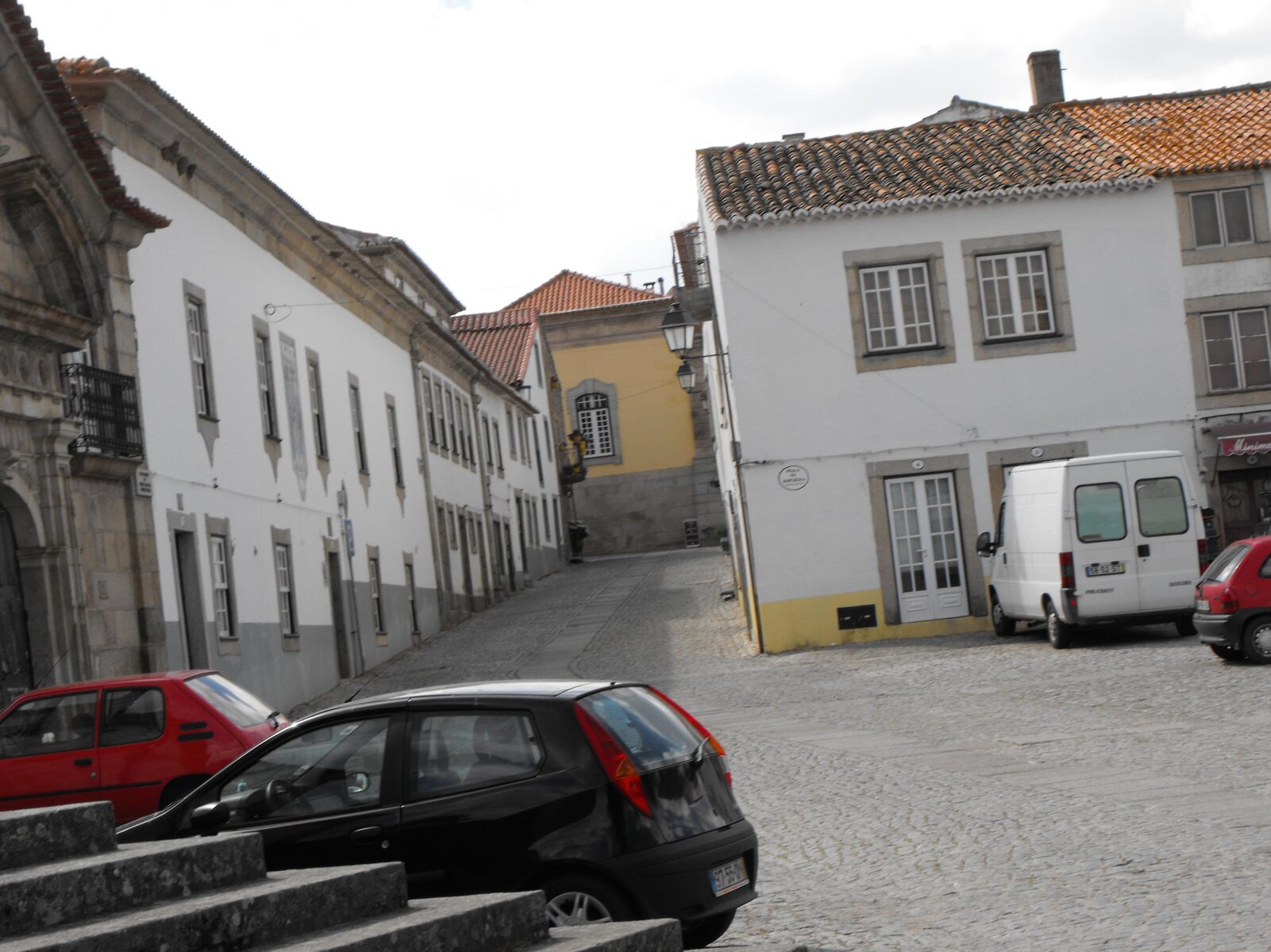
DSCF4680.jpg

The photo was taken inside the fort, we were really surprised to find that people still live there! Its a bit like living inside an English Heritage site, the Portugese really do view things differently. This makes it an unusual experience for Brits, used to being members of the National Trust and speaking in whispers whilst walking around etc.

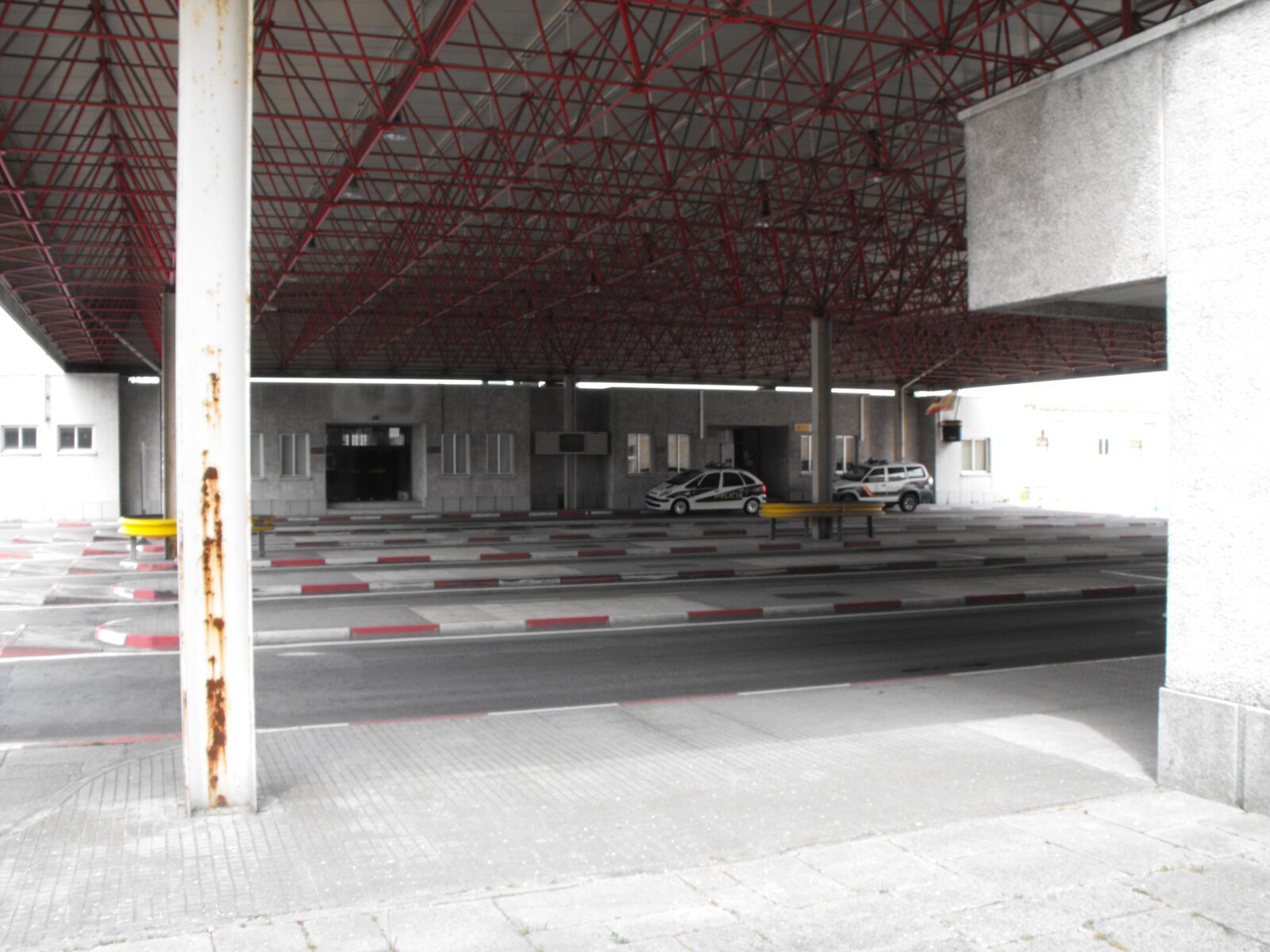
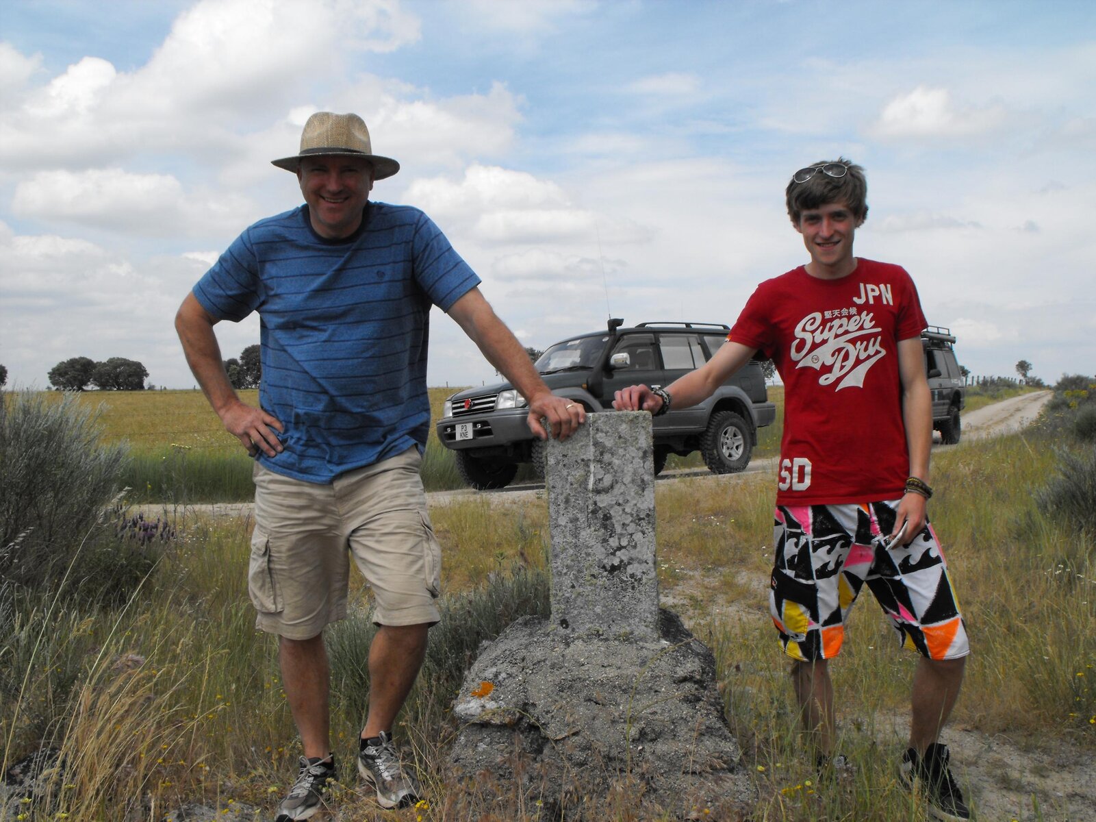
That day also saw us visit Castelo Blanco, which was the old Port/Spanish border crossing. It was odd, we had spent the day crossing and recrossing the border on tracks, its marked by granite blocks with E or P to show which side you are on, then in th emiddle of nowhere is a town around a crossing, which you could just drive round the outside of to bypass......

This saw my first experience with the Republican Guard.
 
Last edited:
DSCF4676.jpg

The photo shows the crossing point. I was parked in a layby to the left, and to the right is Spain. When walking round the point and taking some photos, we saw that the Policia on the Spanish side were stopping tourist vehicles and searching them. To save myself the hassle of going through the crossing, getting searched, turning round and coming straight back, I did a U-turn in front of the crossing point. This meant crossing a double white line, but there was a turn arrow and a turning point, so I followed 2 Portugese vehicles round and then pulled into a layby to await the others. I was followed over by a Portugese Republican Guard vehicle, the passenger came over to me and kindly issued me a ticket for crossing the white lines - 40euro or so. No embarassment that I was behind locals, and whilst he was issuing me the fine, loads more did the same thing - apparently the left turn arrow and lane are to go behind an adjacent building, not for very serious and highly illegal U-turns.....just another way of taxing tourists I guess.

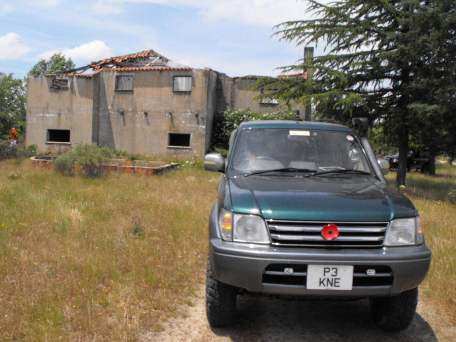
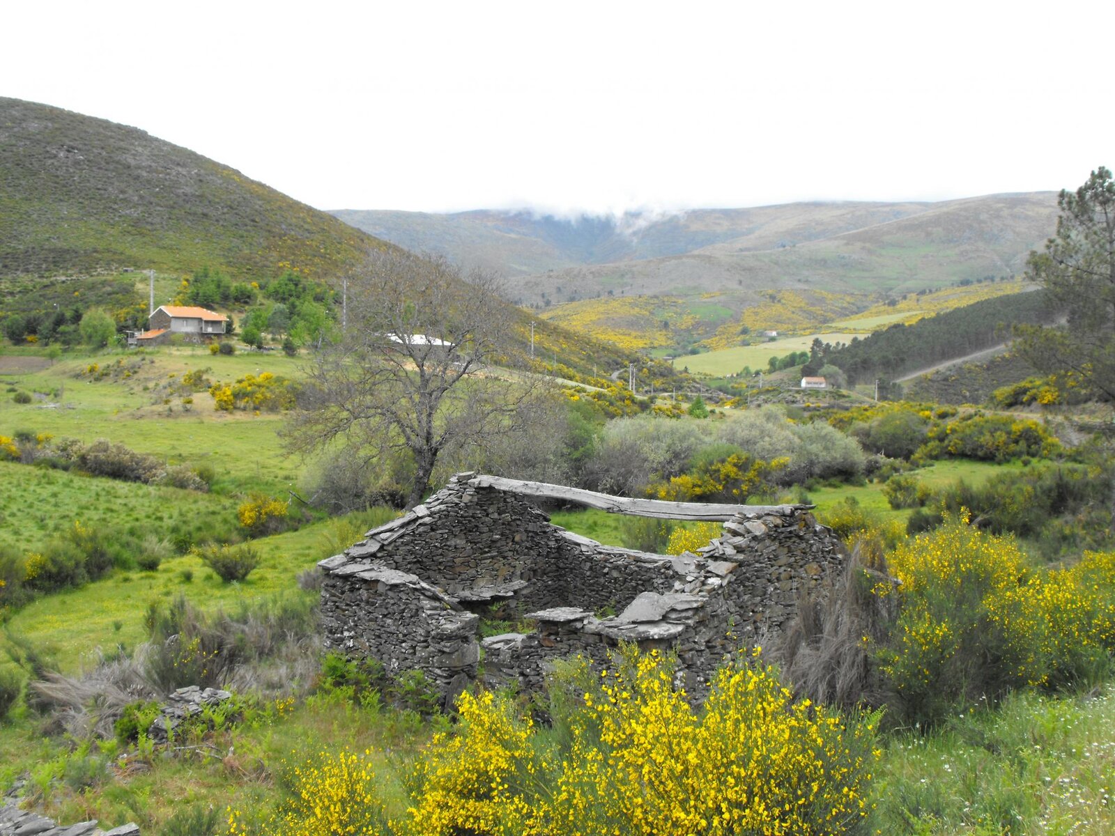
From the same campsite base we did some level countryside tracks, one of which brought us to an abandoned village:

DSCF4662.jpg

It was really creepy, like an Amercian road movie which becomes a horror film! We didnt hang about.

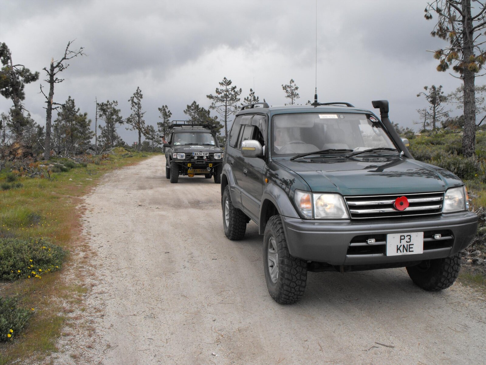
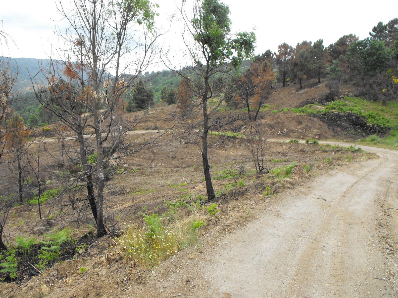
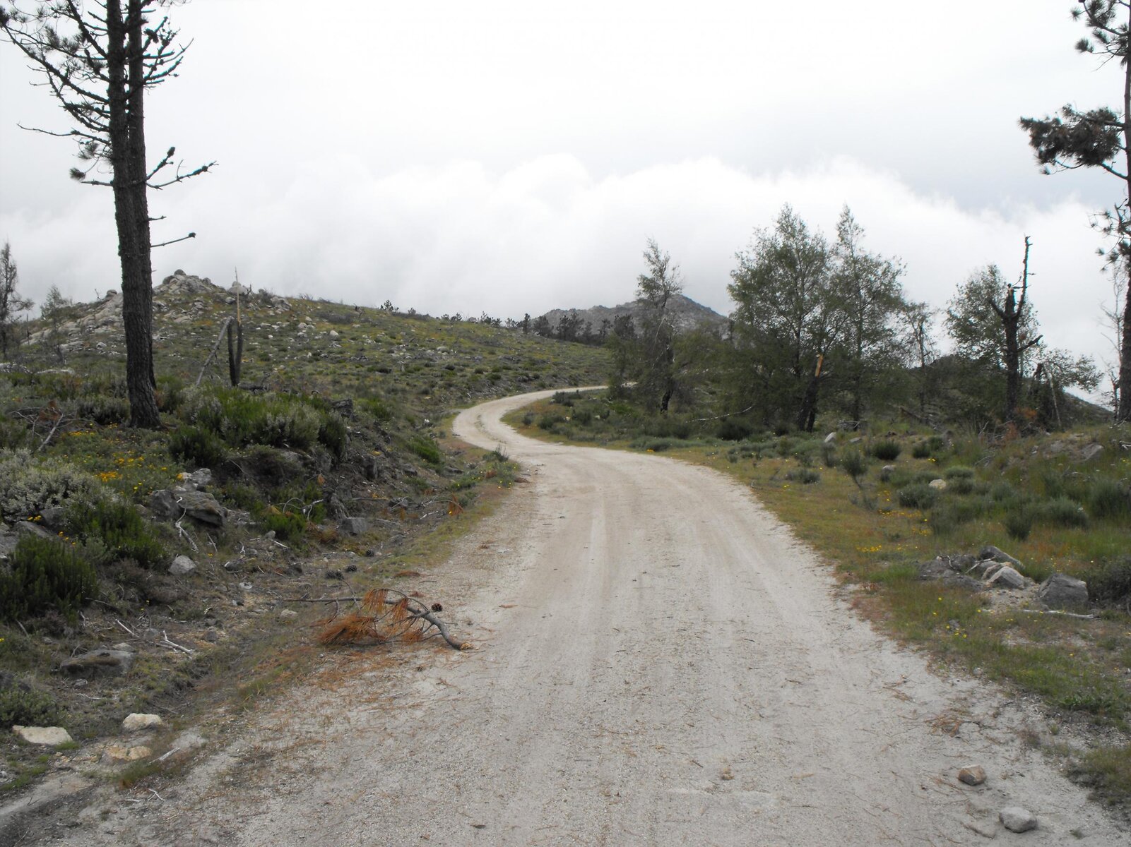
The last day of laning from that base was in the national park around it, awesome, up to 1200m so above the clouds. This is where we found a track which included a tarmac section, just surreal.

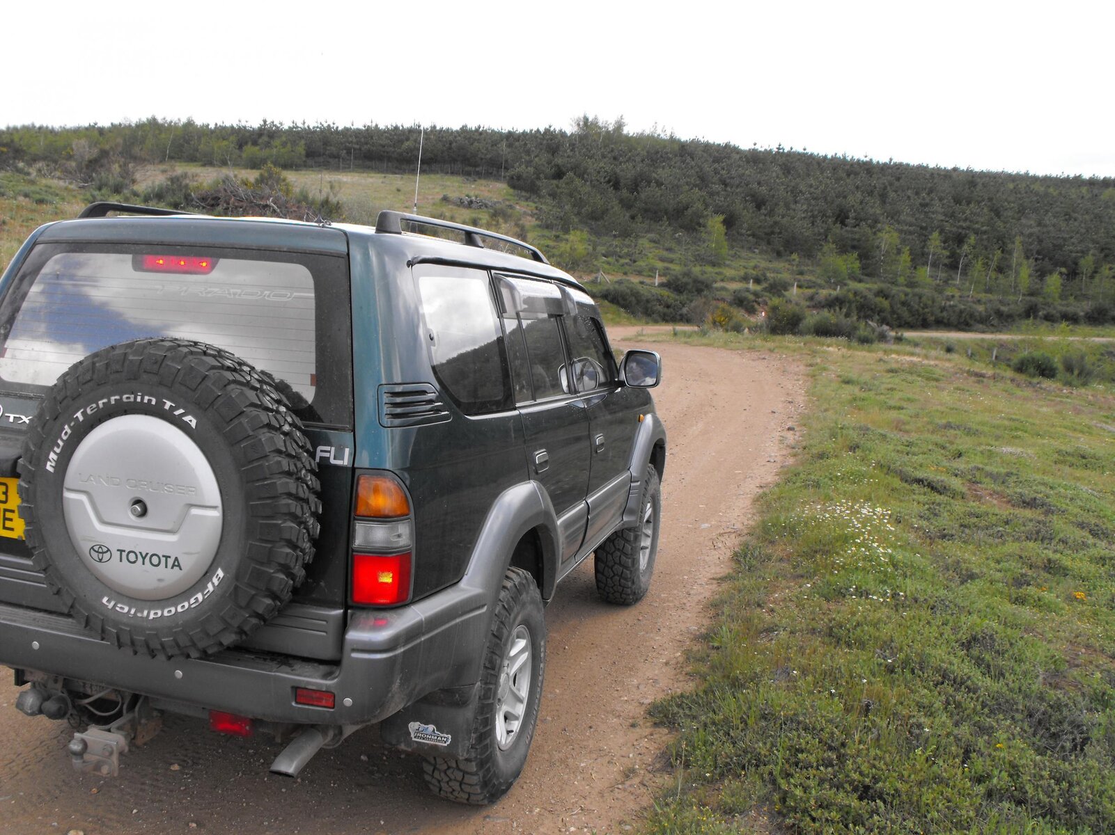
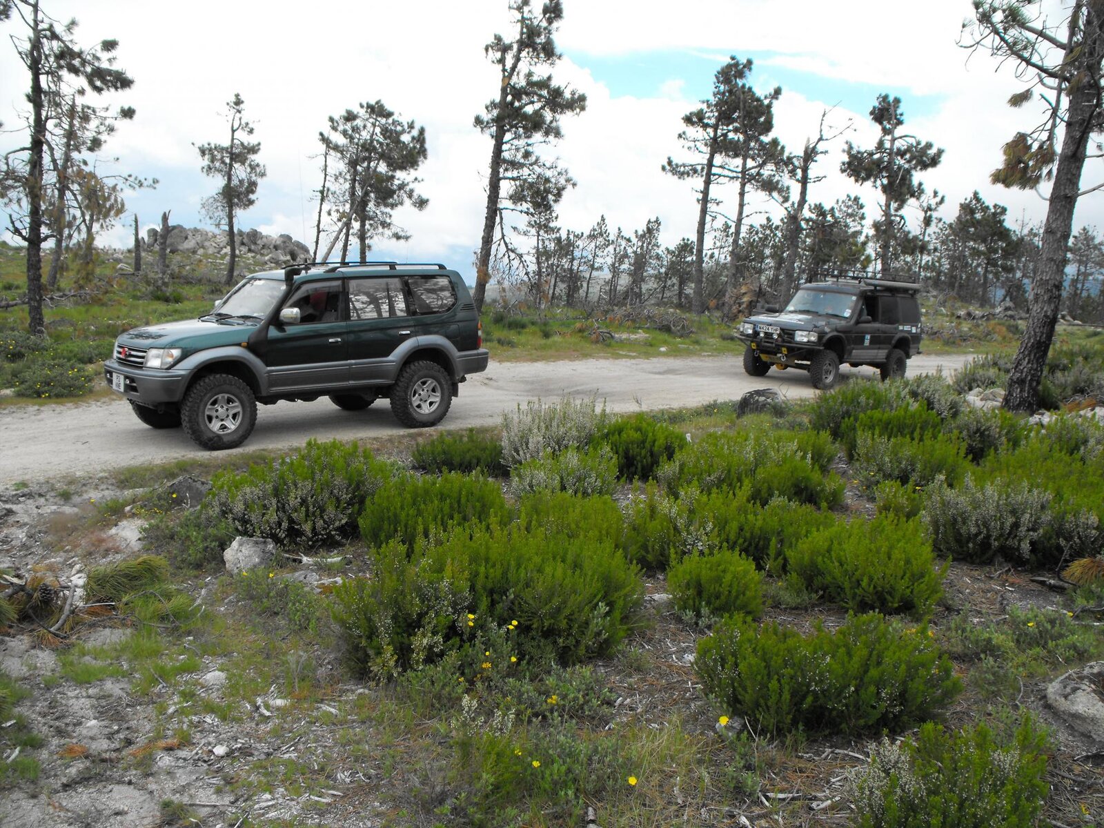
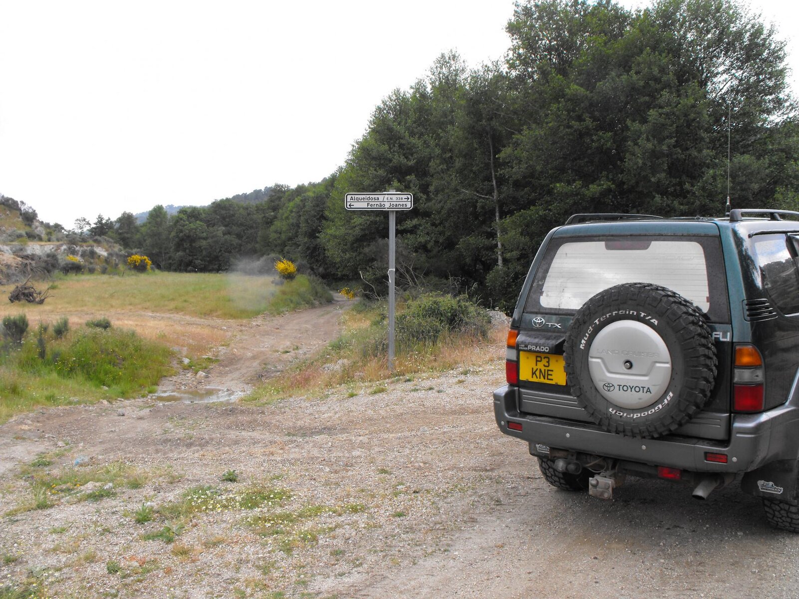
A good idea of the condition of the tracks:

DSCF4707.jpgDSCF4691.jpgDSCF4702.jpg

We then had a move of area, from Guarda over to the coast, this was a huge mistake, it rained constantly and was a 7 or 8 hour drive to cover just under 200 miles - the saving grace was that it took us through the Douro River Valley, home of all the big Port manufacturers, really interesting drive, including a stop at a dam where there was a water lift for big ships, raising them about 180ft directly upwards.

We managed one night near the coast, then the next day we split from the other car and returned to our first campsite at Braganca. Spent a day in the town sightseeing, a nice place, reckon a little house there would suit me down to the ground, ideal base for the area.

On the last day we serviced the Prado for the return, then a 2 day return back to the UK.

Return crossing, best forgotten, force 6 in the Bay of Biscay....I was ok as long as I lay down flat, so spent 20 hours on my bunk!

Overall, awesome place. The area arount Braganca is called Tras y Monte, its actually the very bottom bit of a huge Spanish national park, that pokes into Portugal. Area wise its about the same size as Wales, I think there are about 7000 people live there, and more tracks than you could ever drive.

The locals are great if they run the campsite, hotel etc etc, but dont expect any help if not, see it as a bonus. I intend to return and am going to learn the language first as I reckon that *may* help, but its not an easy one, harder than Spanish or French.

Equipment wise - a decent set of AT's and a good service are all you need, other than that any Landcruiser would be up to it.

There are dealers in the main towns for parts backup if needed.

Mapping - the biggest issue imho, I had maps on the tablet, and intended to use a 3G vodaphone as a hotspot so I could navigate from google maps (there is a signal in most areas) but when we got there we found the Vodaphone didnt allow use as a hotspot.

I have maps in sid format for Oziexplorer, which I intend to sort out, but im a bit thick on these things, butnext time it would be essential. Forget the 1:300,000 maps, they arent accurate or up to date, some local roads have up to 4 different titles.

The downside is also the biggest upside, its a long drive, which wouldnt suit many, which means many dont go....hence its really empty.

I intend to return again, just got to pay off this trip first.

DSCF4714.jpgDSCF4708.jpgDSCF4657.jpgDSCF4701.jpg
 
Looks like it was a great trip - a nice area by looks of things
Must add to the list of places to visit.

the maps i have for portugal in oziexplorer are pretty ancient

where there many fords or knarly tracks requiring difflocks and low range?

thanks for sharing!
 
The Disco had to use low range on a lot of the hill climbs, but I didnt need to - he had a manual box so I reckon gear ratios or something were the difference, I just seemed to crawl over everything.

The track with the tarmac section was the slowest progress, mustve been about 15 miles of track which had lots of rivulets across it, which meant lots of steps, but no challenge for the car, although my lad who was driving that section was knackered by the end, you needed to concentrate all the way.

There are river crossings, but we didnt get that far, we probably completed just under half of the planned distance.

I have lots more routes mapped, and have lots to go back and explore.

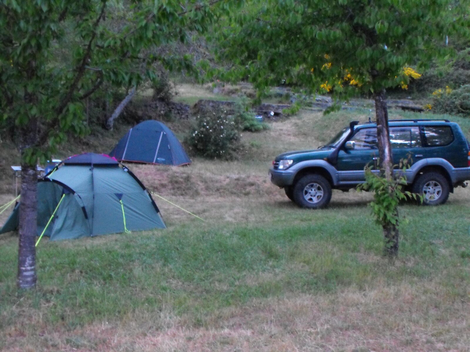
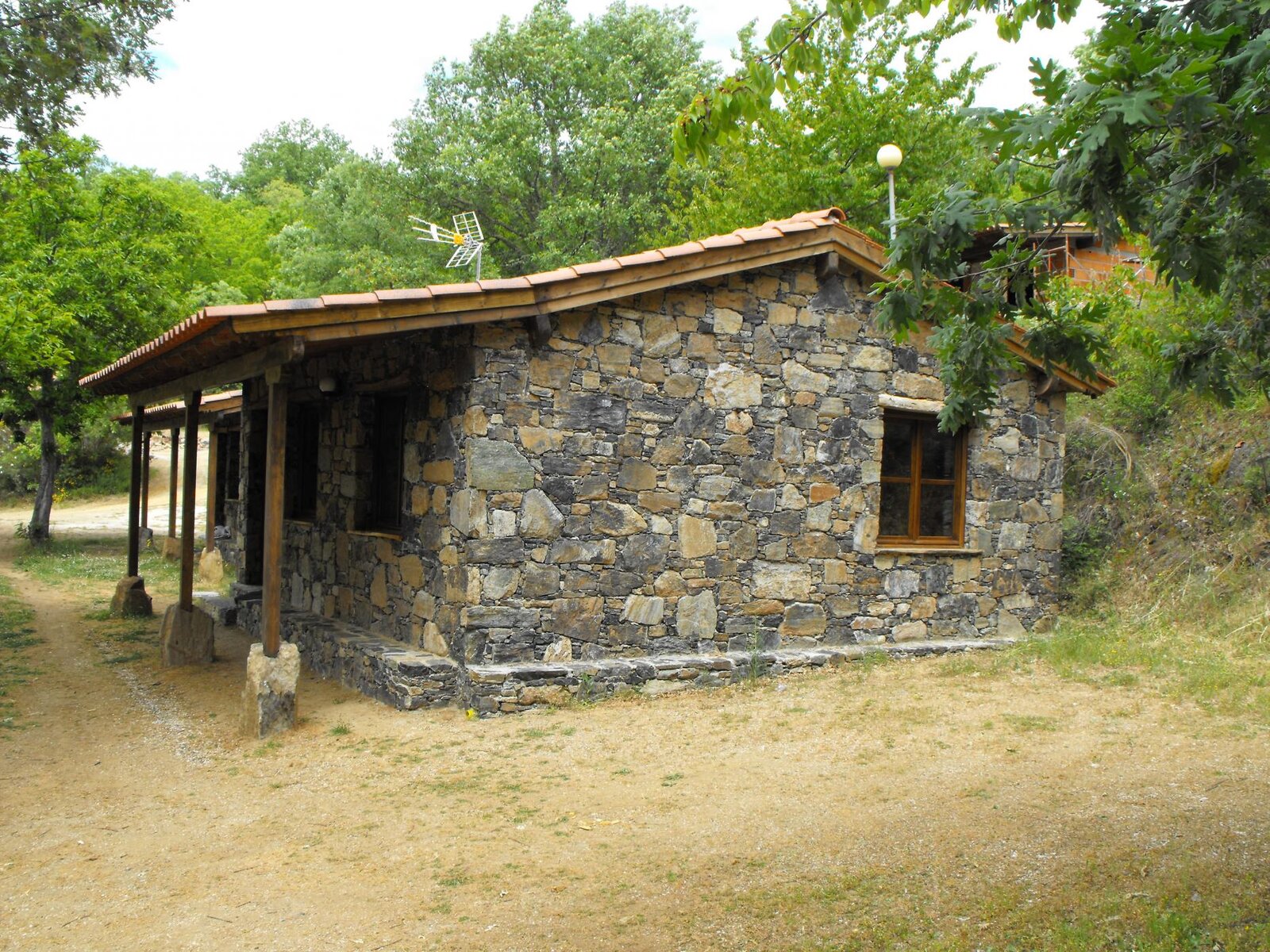
if you went in April it would be wet and much harder, so instead of camping you could rent one of these for £30 a night:

DSCF4717.jpg

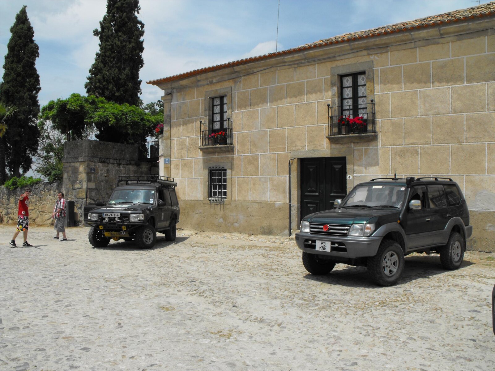
There were plenty of modified 4x4s in the towns, we stopped and had a look at a few, but cars are really expensive over there - a 1997 Prado like mine was for sale for 12,000euro's, over £10k !

I bought a 4x4 mag, as soon as I can read Portuguese I will enjoy it...

Pete
 
Looks like you and your son had a great trip Pete. Enjoying the pics and report - looking forward to a few more pics.

How much did the Plymouth-Santander crossing cost you?
 
I think it was about £800 return, that included an interior cabin.

The campsite was about 15 mins from Braganca, and there was a good supermarket and petrol station nearby. Diesel was about 1.36euro a litre, so maybe 10% cheaper than the UK.

DSCF4710.jpgDSCF4706.jpgDSCF4689.jpgDSCF4671.jpgDSCF4660.jpg
 
Don't like the adverts?  Click here to remove them
Just to add......

Navigation was a problem right from the planning stage.

There dont seem to be any detailed maps of the sort we have in the UK.

We planned the route on Everytrail for android, but as we had no 3G I took detailed screenshots of each route, then used these images as a map - obviously its not 'live' but it worked ok.

I have since been fiddling with google maps and have worked out that you can create offline tiles for an area, and if your device has a gps chip you can use googlemaps as a more detailed form of satnav - miles better than the satnav the other vehicle had. This is only of use on designated roads, not tracks, but would be a sensible idea as even offline your position is shown and you can zoom in.

Pete
 
Shame the other sd card is knacked, it had the photos of the young nuns sunbathing topless.

Never mind, after all its a car forum.
 
Great trip report and pics Pete. :clap:

Shame the other sd card is knacked, it had the photos of the young nuns sunbathing topless.

Never mind, after all its a car forum.

:lol:
 
Thanks Pete - great trip writeup; sounds a top place to head towards :icon-cool:
 
Back
Top