Don't like the adverts?  Click here to remove them

Morocco October 2016

It's kind of a shame your internet let you down Mark the pics are great and having followed the thread i can relate some to events previously mentioned but there's something lost from the story if you get what i mean .

No criticism intended you understand it looks like it was a great trip i just wonder if you had kept a written diary and posted an illustrated story when you got home it might have encouraged more people to tag along on your next trip .
 
I do get what you mean, story and pics always works better together.

I'll do a bit more commentary as I posts more pics. TBH even with good internet these pics wouldn't have been posted as they're from my good camera and need processing first.

I did post quite a bit on facebook whilst away using pics from my phone and it was very easy, but trying to get even those photos on here was a nightmare and wouldn't work
 
Great pics

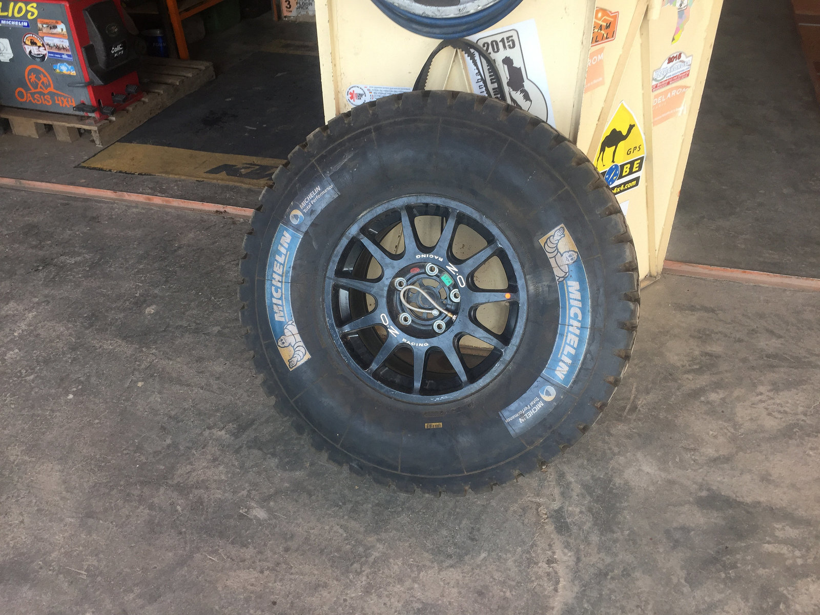
Is that your "winter" tyre in photo 1082 ?
Well worn on one side if so.
 
Ha Ha , no its not mine, that's one of many spare/old wheels and tyres at the garage.

Like this 37" with tyre inflation system
30873379813_37f06fc781_k.jpgIMG_1084 by Trackasylum, on Flickr
 
Having had the repairs completed and a nice couple of nights relaxing in Zagora, it was time to hit the road again.

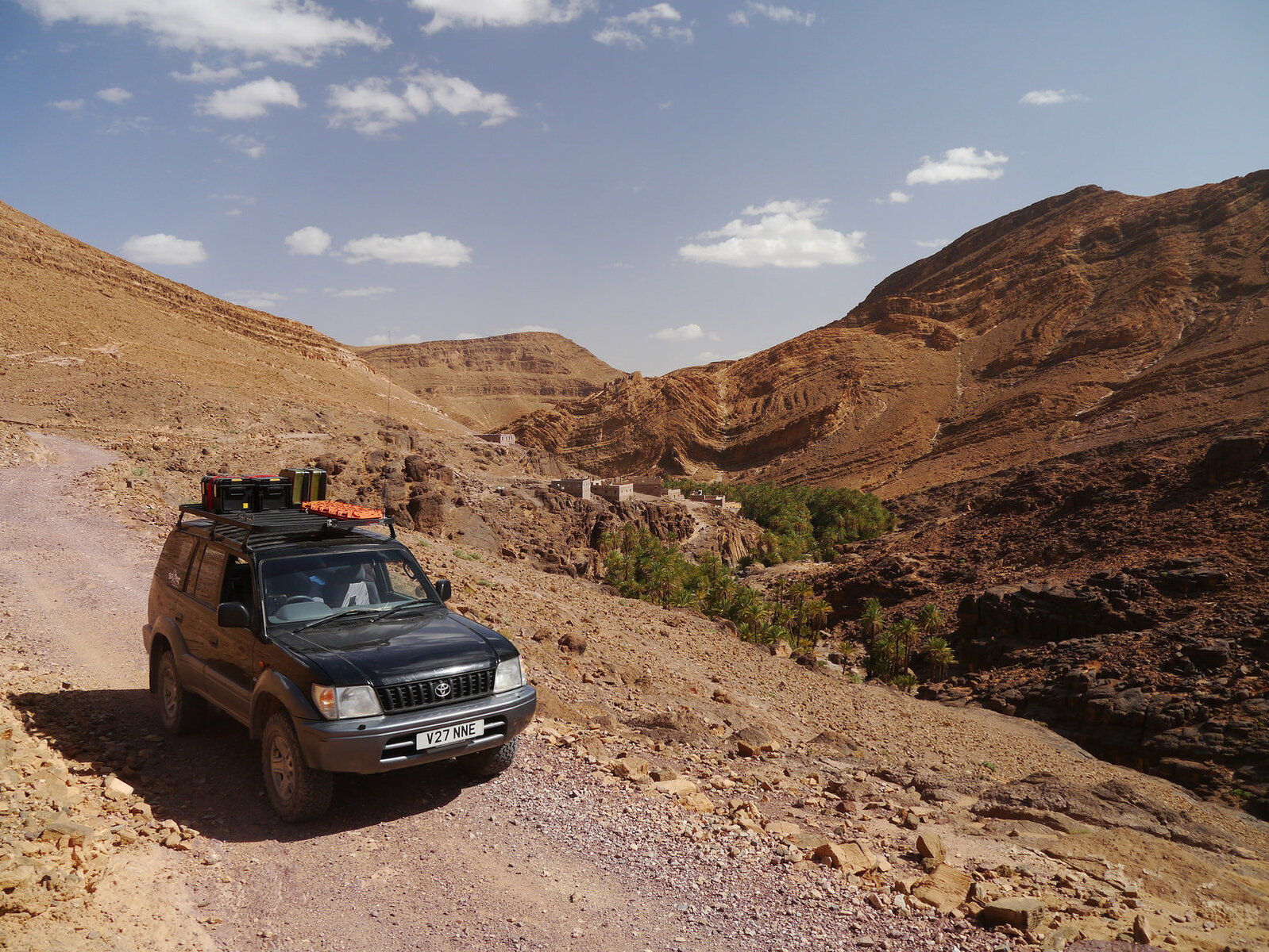
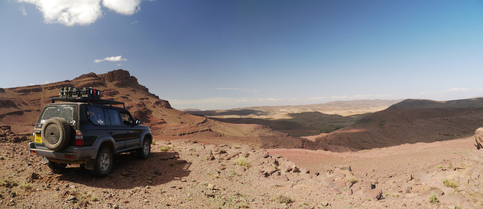
Headed back west along the N12 to Foum Zguid before picking up a route from Morocco Overland heading NW towards the Issil Plain. Heading South to North through the mountains and onto the plain is one of the most stunning views in Morocco.

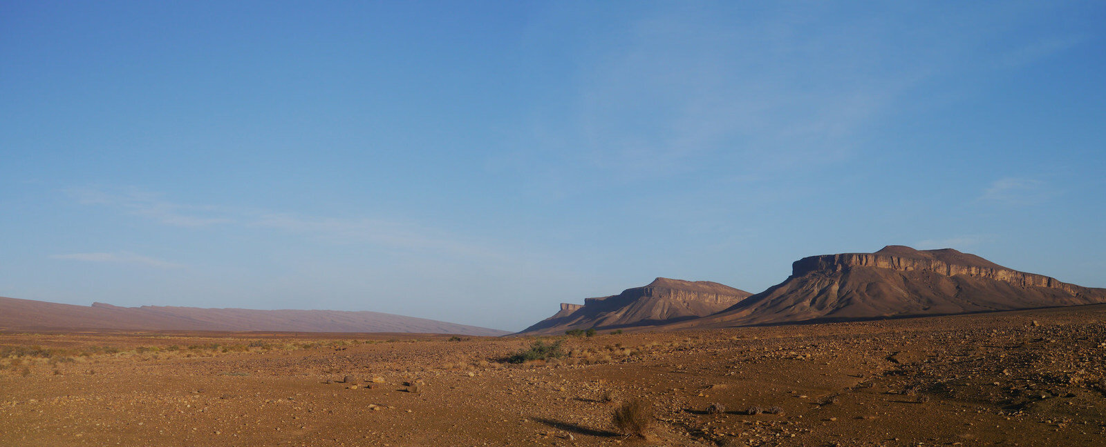
Desert on the Edge of the Anti Atlas
31681785365_78e6437845_k.jpgP1100292 Panorama 1 by Trackasylum, on Flickr
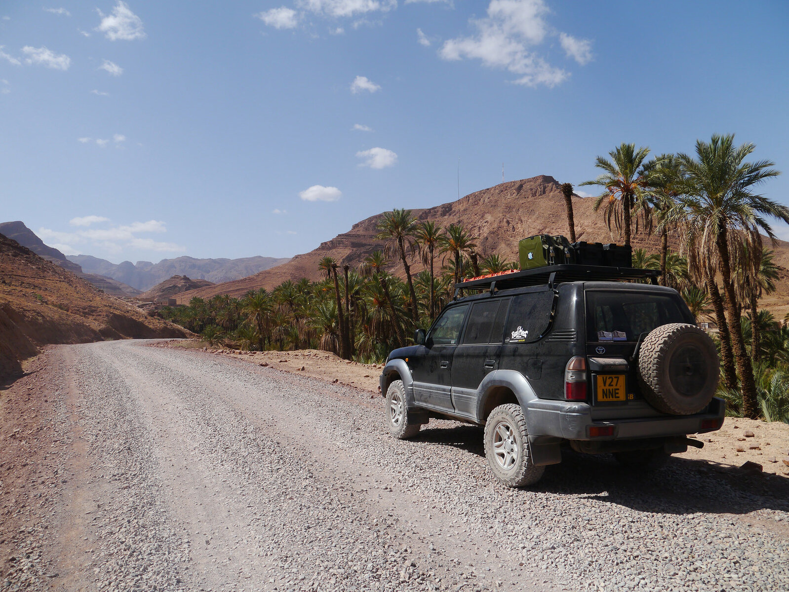
Piste on the early part of the ascent was nicely prepared and I expect it'll be sealed soon
31645006686_9553f634b6_k.jpgP1100295 by Trackasylum, on Flickr

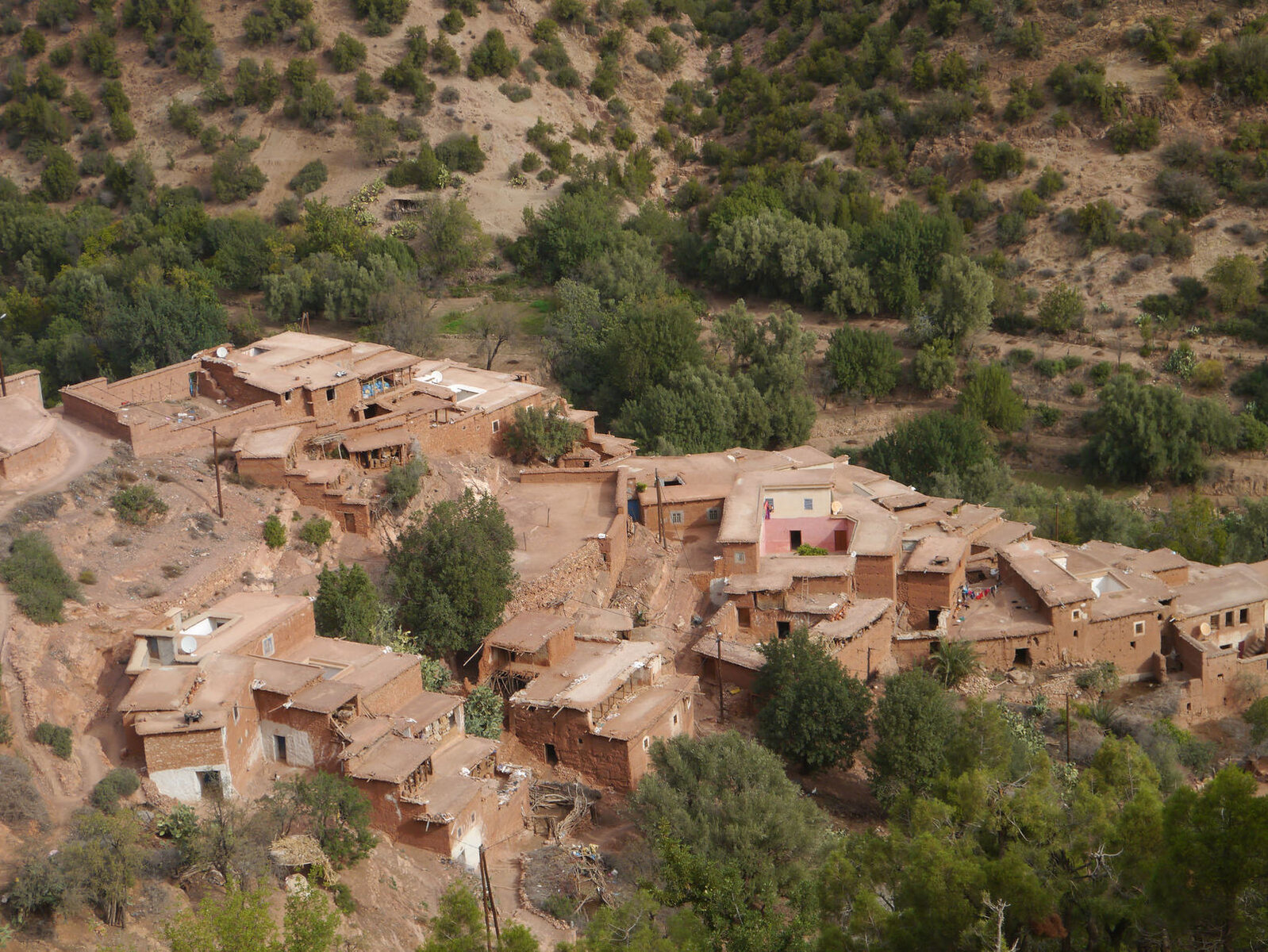
Nice track winding along valleys with small villages dotted along the edges
30840375424_c2dd32f1ea_k.jpgP1100296 by Trackasylum, on Flickr

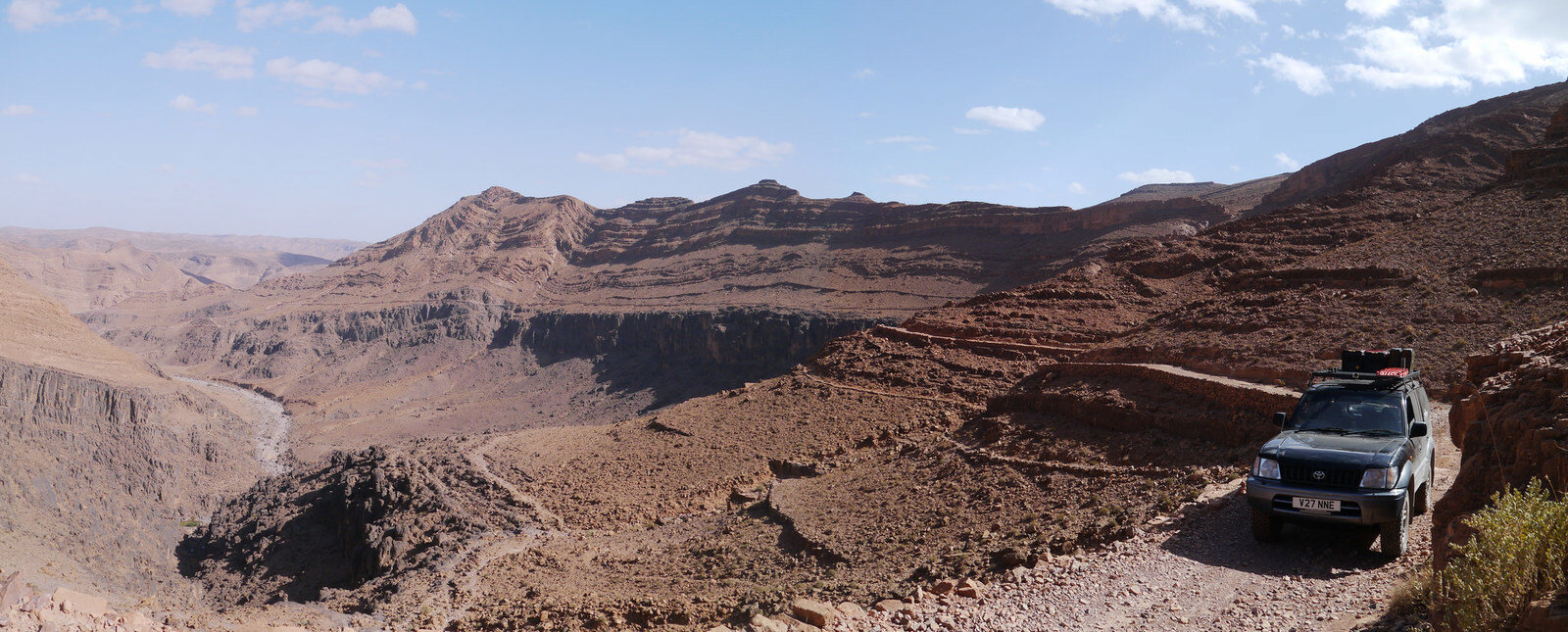
Started to get a little wilder the further up I got. The track ran right along the top of the cliff face in the background. Stopped to watch some eagles soaring over the valleys
31535616382_2f6471a8ed_k.jpgP1100306 Panorama 1 by Trackasylum, on Flickr
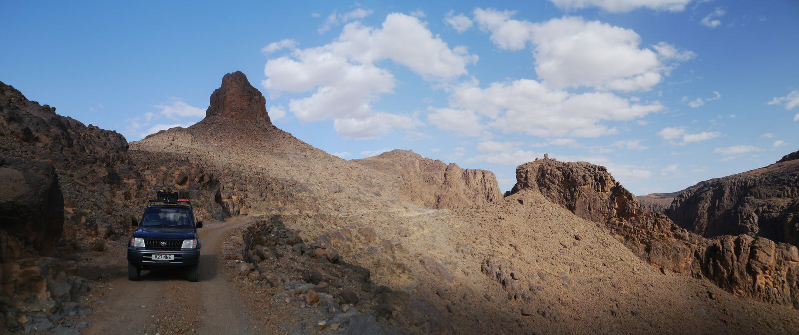
Almost at the top
31567531201_71136bae8b_k.jpgP1100314 Panorama 1 by Trackasylum, on Flickr

And finally the view over the Issil Plain
31567475631_8e7f91290c_k.jpgP1100316 Panorama 1 by Trackasylum, on Flickr
 
Don't like the adverts?  Click here to remove them
The next couple of days were up in the southern side of the High Atlas exploring some new routes. Plan for the first day was to head north from Taliouine to Askoun and then NW across towards Lac Imili before turning east down to Ouarazazate.

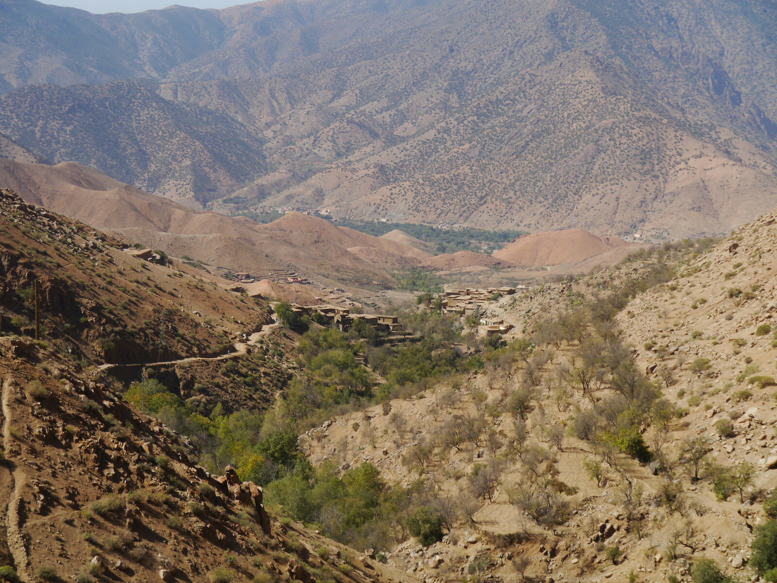
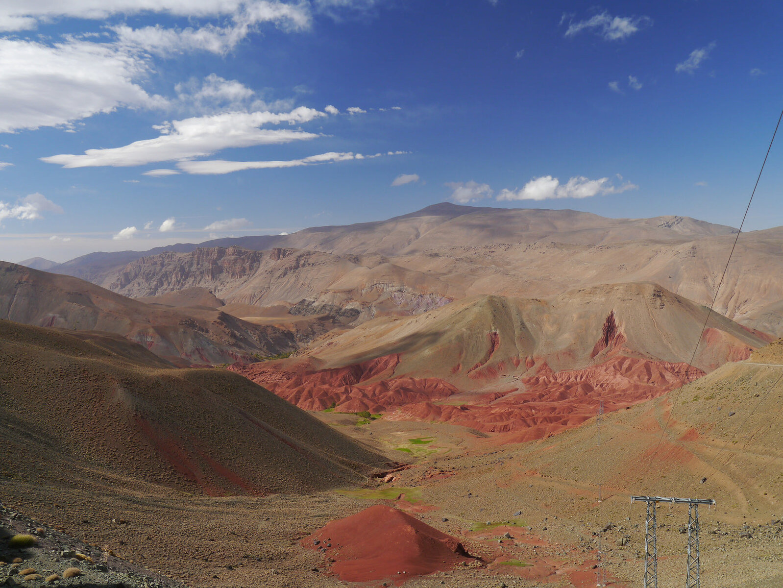
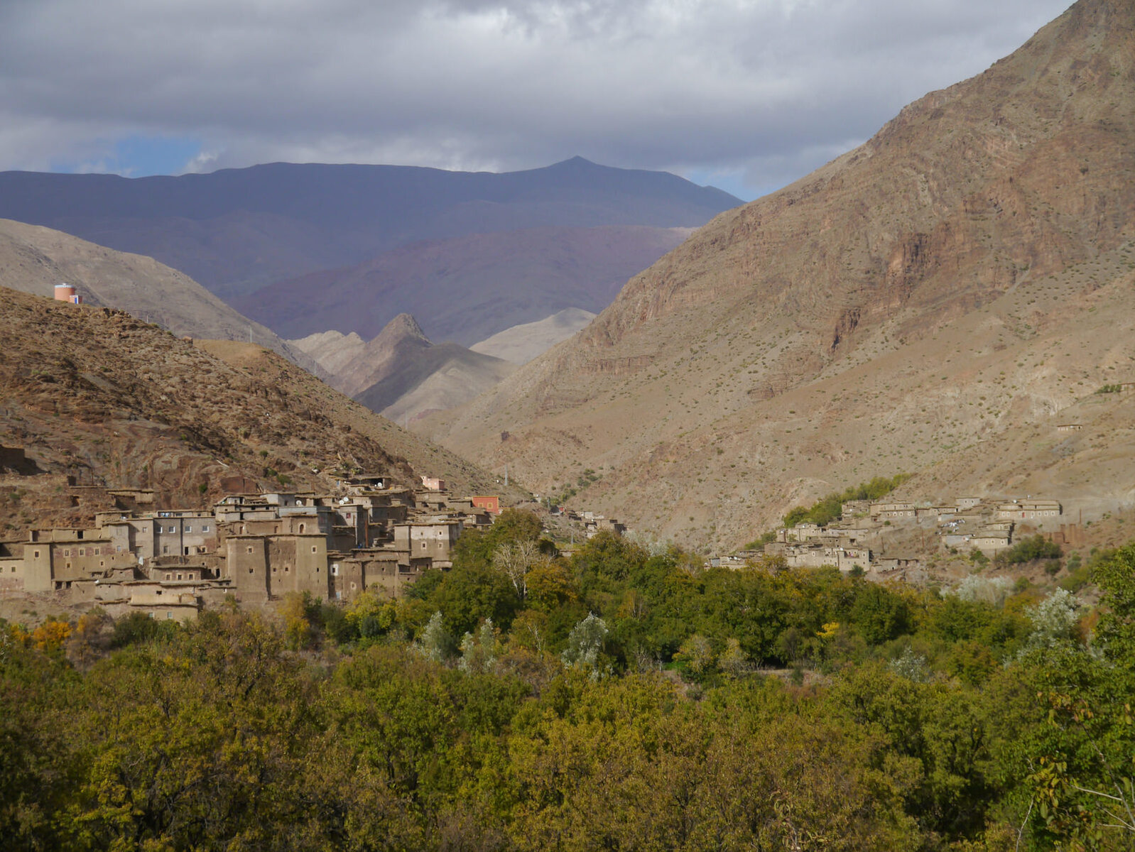
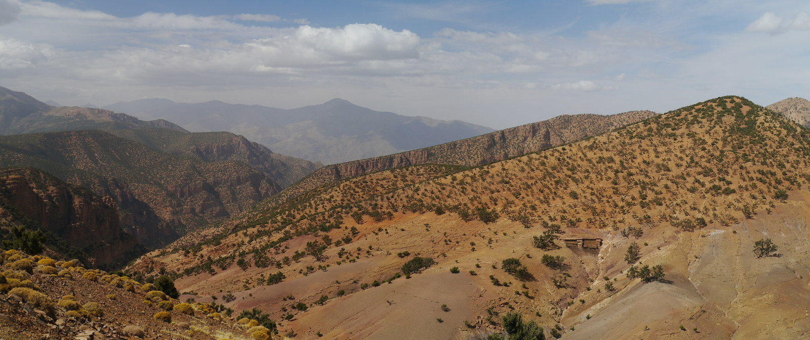
Typical High Atlas Vistas with nice little tracks winding their way through villages alon the mountain valleys
30913054093_67b5d12324_k.jpgP1100335 Panorama 1 by Trackasylum, on Flickr

31723139465_afb41bb0b2_k.jpgP1100339 by Trackasylum, on Flickr

31575925632_fe4bf92985_k.jpgP1100346 Panorama 1 by Trackasylum, on Flickr

30913091703_53253d459e_k.jpgP1100348 by Trackasylum, on Flickr

30880802244_321cce7a50_k.jpgP1100350 Panorama 1 by Trackasylum, on Flickr
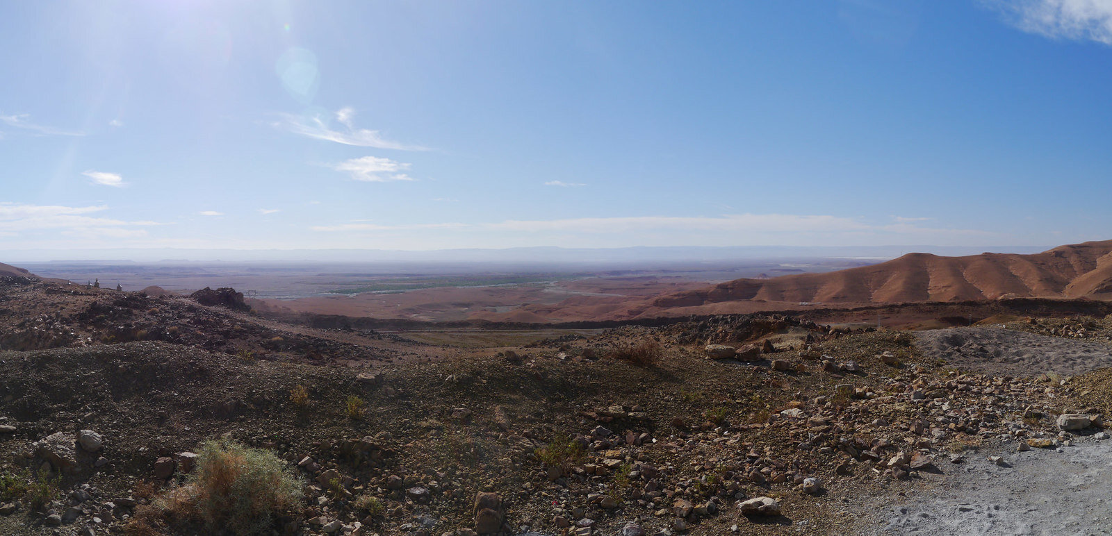
Unfortunately the road up to the lake was closed for some local festival event so I'll save that for another time. Great days drive with fantastic views around every corner. Camped for the night just outside Ouarazazate..

Not long after arriving the owner of a French 80 invited me over for some pre dinner Pastis and tales of desert adventures :)
 
After stocking up on supplied and beer in Ouarazazate it was off back into the mountains hoping to get to the Dades Gorge.

First bit was on the R307, a fantastic trans Atlas sealed road, well worth thinking about as an alternative to the Tizi n Tichka pass if you in a hire car. Then turning east through the Atlas towards the Dades.

Skirting around the east side of the new solar power plants at Ouazazate the road climbs quickly into the mountains before winding its was through the mountains to the Cliff top village of Toufghine.

View south
31375361210_0e60cc05db_k.jpgP1100367 Panorama 1 by Trackasylum, on Flickr

Toufghine

31601168092_b6fd2ef0ca_k.jpgP1100372 Panorama 1 by Trackasylum, on Flickr

31601117202_3be421ff52_k.jpgP1100380 Panorama 1 by Trackasylum, on Flickr
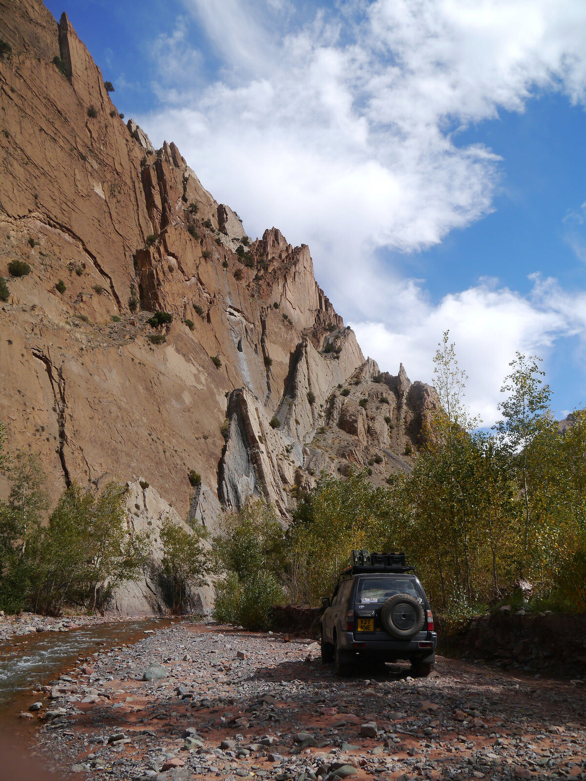
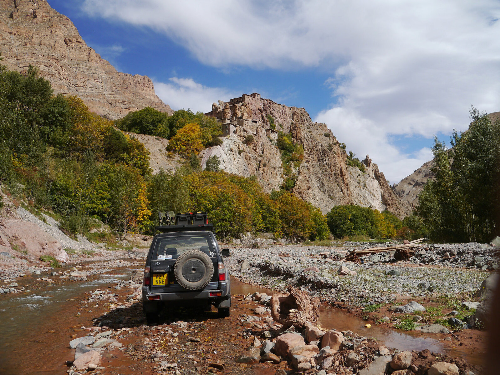
Just after the village a road branches off east through a narrow valley, about 10km later it turns back south. Here I went straight on, onto a fantastic valley route driving through the river and crop fields. Intially the start of this route looks like a footpath but you need to perservere and push on through.

31748419745_e554f41a94_k.jpgP1100383 by Trackasylum, on Flickr

p30906459964_ee908e40b9_k.jpgP1100387 by Trackasylum, on Flickr

After 20 or so km in the river the routes climbs out up over a mountain and back onto a sealed road.

View back along the valley
31375390150_45525d4a1b_k.jpgP1100388 by Trackasylum, on Flickr

31375217730_68b8aa05aa_k.jpgP1100391 by Trackasylum, on Flickr

Progress had been a little slower than expected and the tarmac was about half way. Rather than push onto to Dades I headed back to the main road rejoining it about 20km from where I turned off 8 hours earlier!.

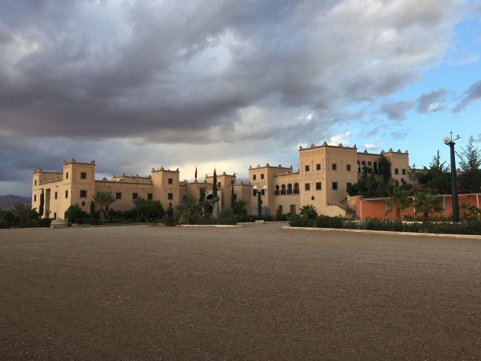
Stop for the night was at the bizarrely named Ksar Kaiser. Clearly a very expensive hotel/campsite complex when it had been built but didn't look like it had ever been used.

30906391554_69047a69f8_k.jpgIMG_1110 by Trackasylum, on Flickr
 
Loving the pics Mark. You mention 'sealed roads' every now and again. Do you mean sealed for winter?
 
Loving the pics Mark. You mention 'sealed roads' every now and again. Do you mean sealed for winter?

judging by the pics, it might be sealed to get some tarmac on soon..
 
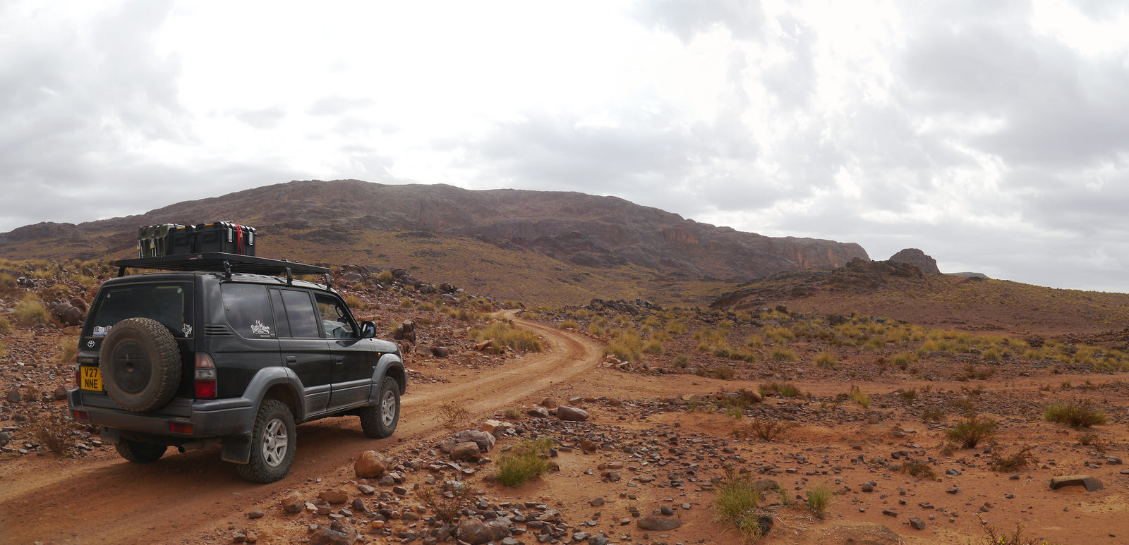
The next days plan was to head south through the Jebel Sahro and explore some interesting tracks I marked in 2014 that looked interesting. Only a short day planned with a stop in Nkob for the night.

31640701332_43e2d6106a_k.jpgP1100398 Panorama 1 by Trackasylum, on Flickr
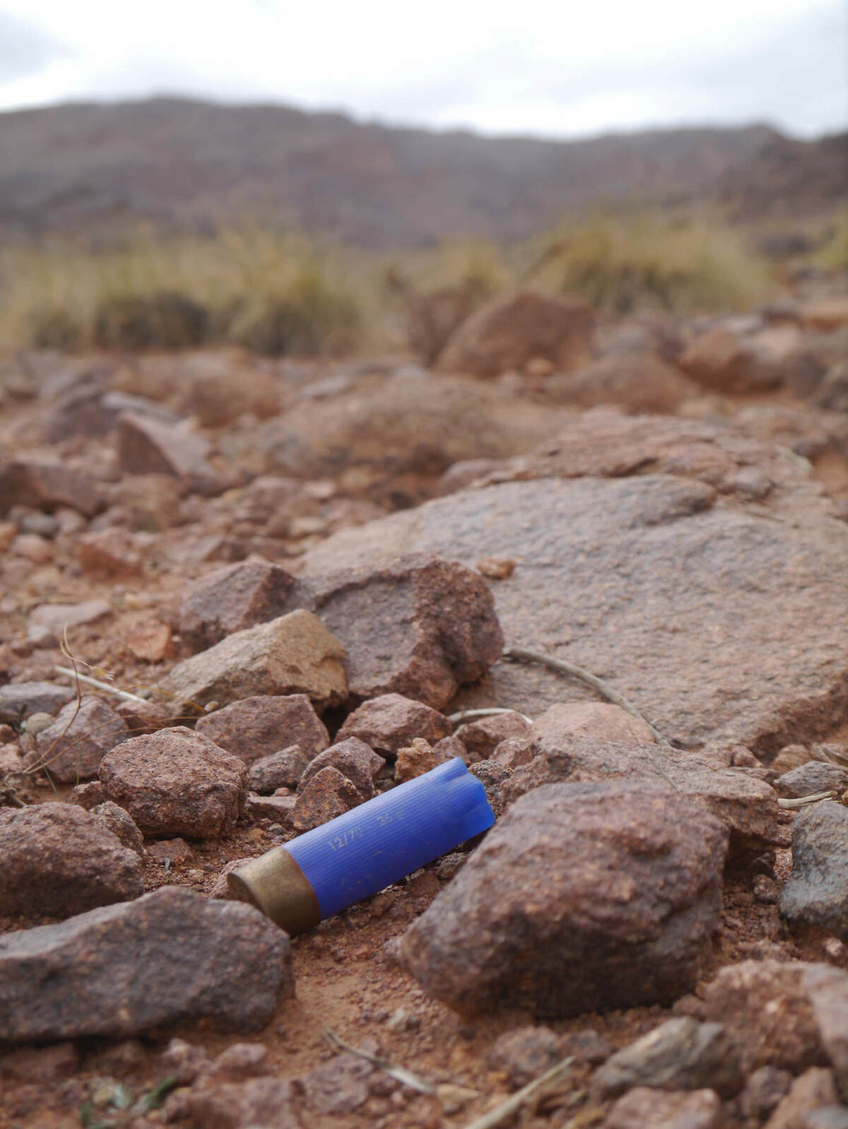
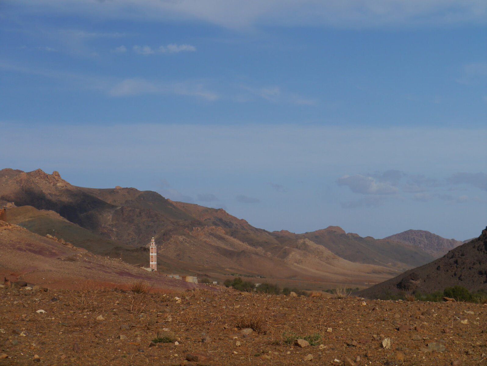
Unusual find in this part of morocco
31750946186_2fe37fc864_k.jpgP1100402 by Trackasylum, on Flickr

31787980625_b0a60664cc_k.jpgP1100406 Panorama 1 by Trackasylum, on Flickr
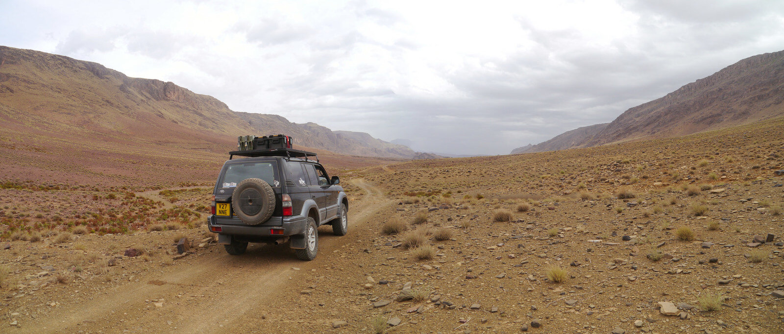
The drive through this valley is widely missed by tourist 4x4s and is a great route

30978359323_627fc61886_k.jpgP1100408 Panorama 1 by Trackasylum, on Flickr
31415608610_ae6904e39a_k.jpgIMG_1117 by Trackasylum, on Flickr

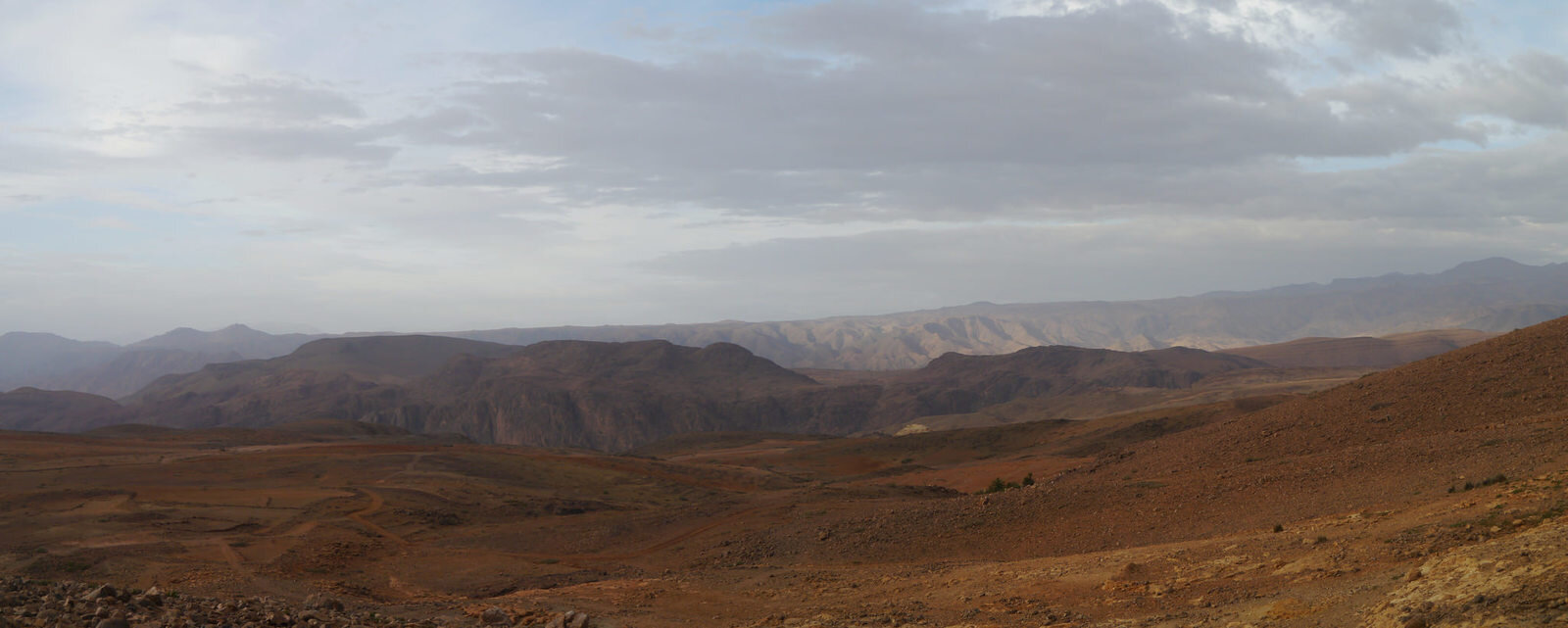
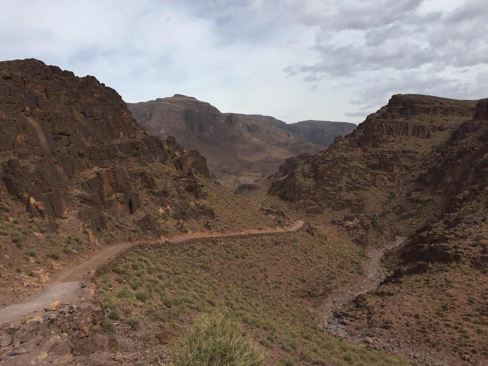
View over the plain to Nkob from the south side of Jebel Sahro. Weather had been grey all day and just after I parked up for this picture it started to rain. Plans to camp were quickly abandoned and I found a hotel for the night.

31415294830_d60135947d_k.jpgP1100418 Panorama 1 by Trackasylum, on Flickr
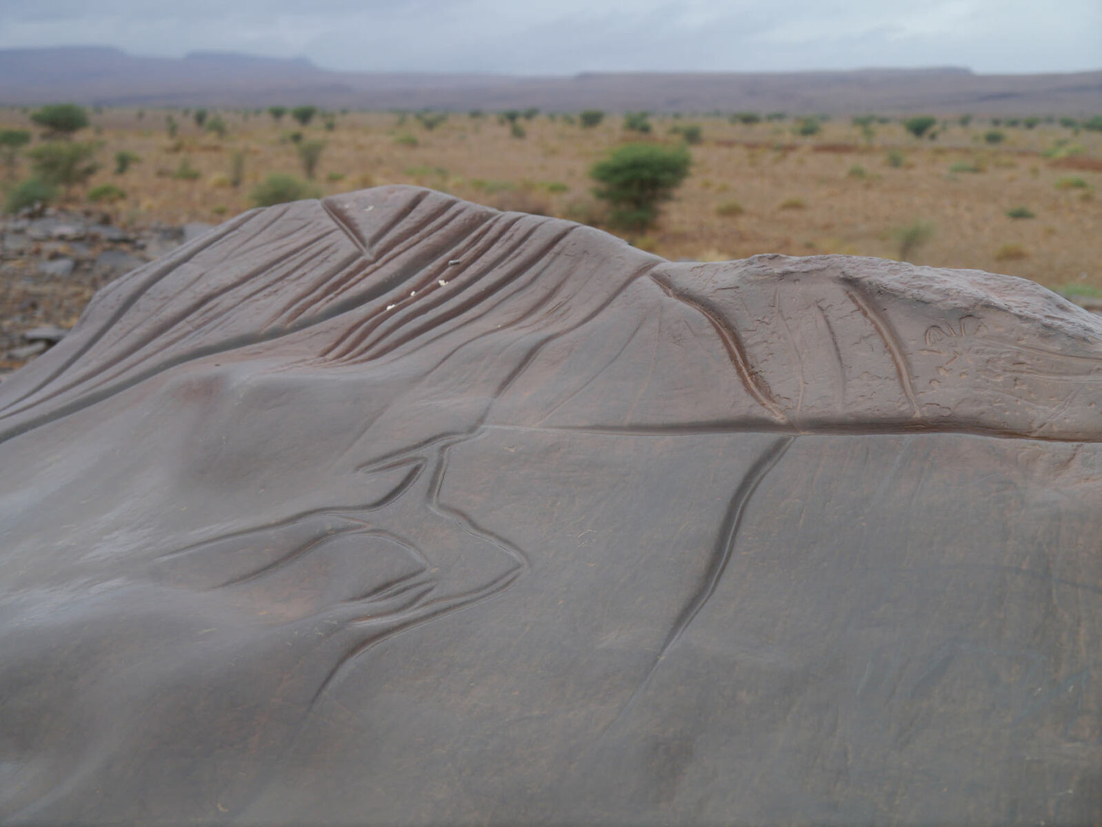
 
So now it was down in to the desert and across to Erfoud. I'd planned a route due south from Nkob passing near some prehistoric rock carvings before turning east for the rest of the route. Weather had been rubbish over night with torrential rain but the forecast looked ok for the day.

The first section of the route was realistically a service track for the phone lines now and not widely used, but it was a quick way up and over the ridge of mountains, things were a bit rough downhill on the south side! Rain started again just as I reached the summit :(

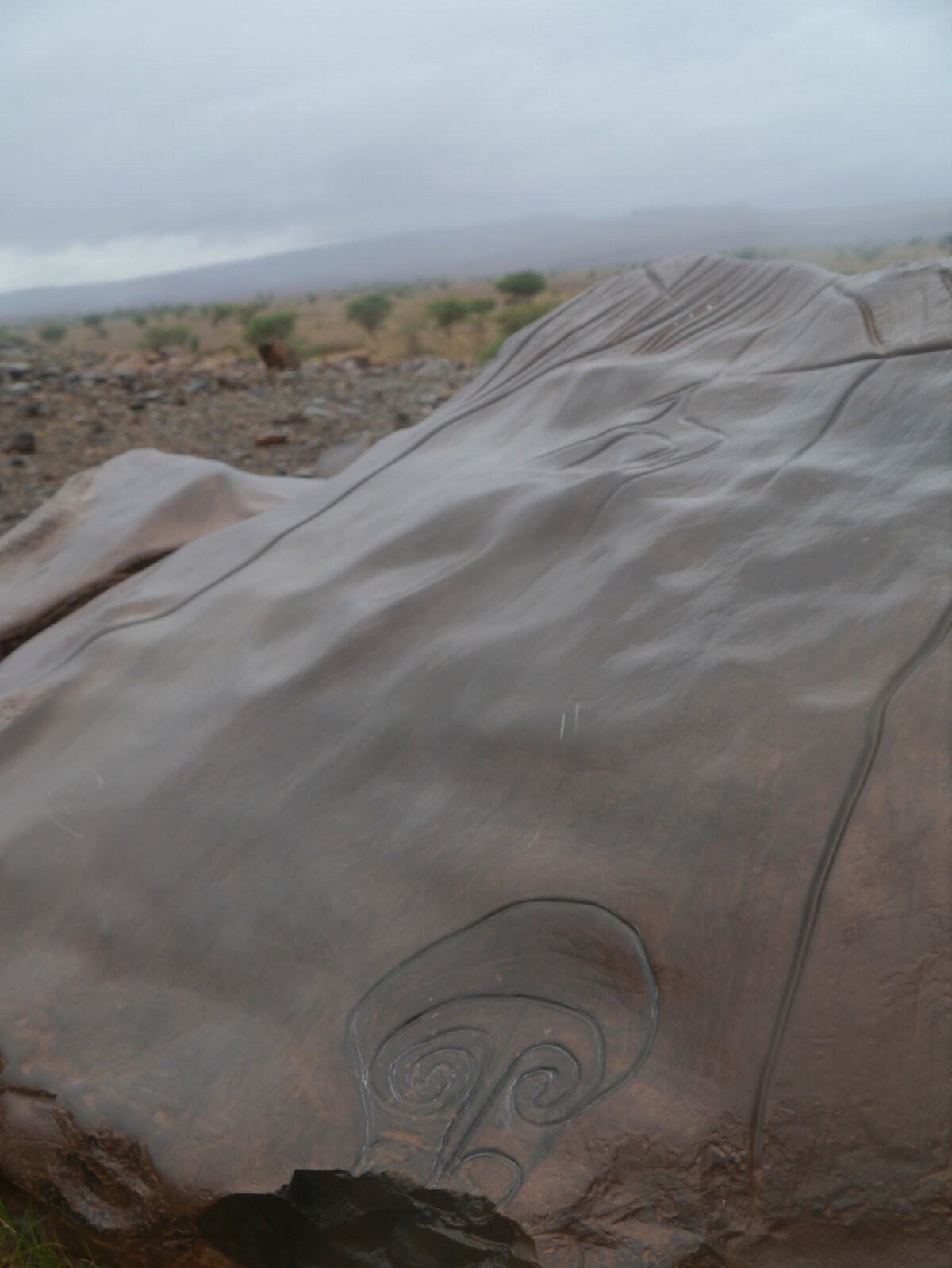
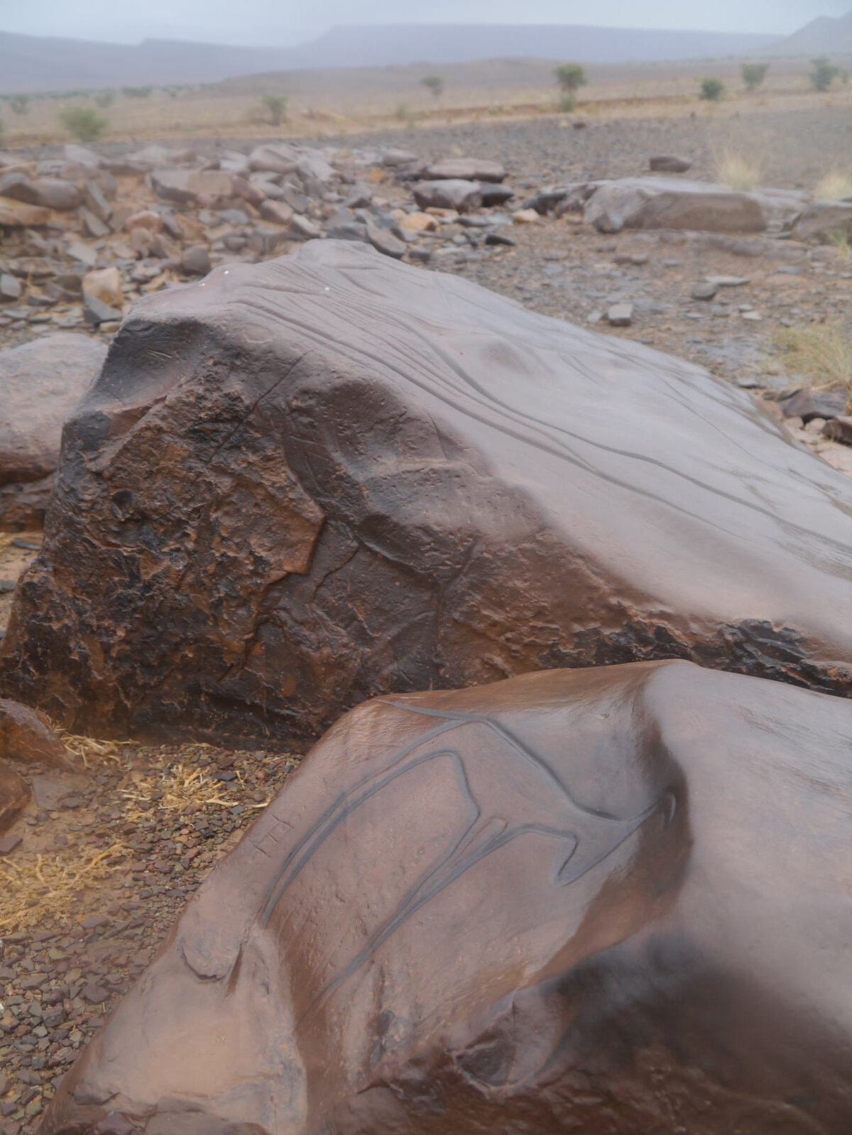
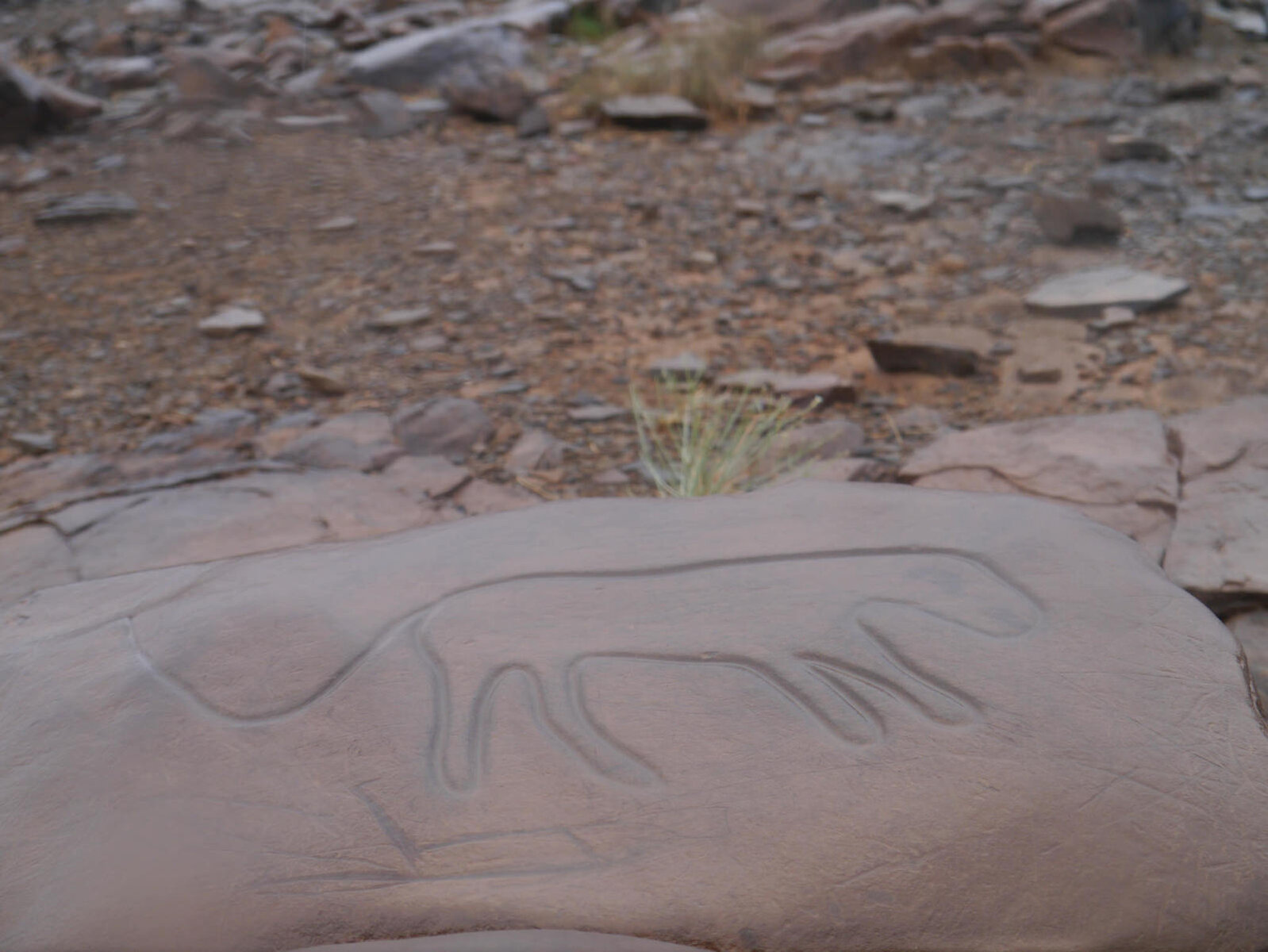
About an hour in I stopped to check the waypoints for the carvings, and a local stopped on his scooter after some petrol. during our chat he asked something which I didn't understand and then said photo come, ataking me over to another set of carvings I didn't know about.

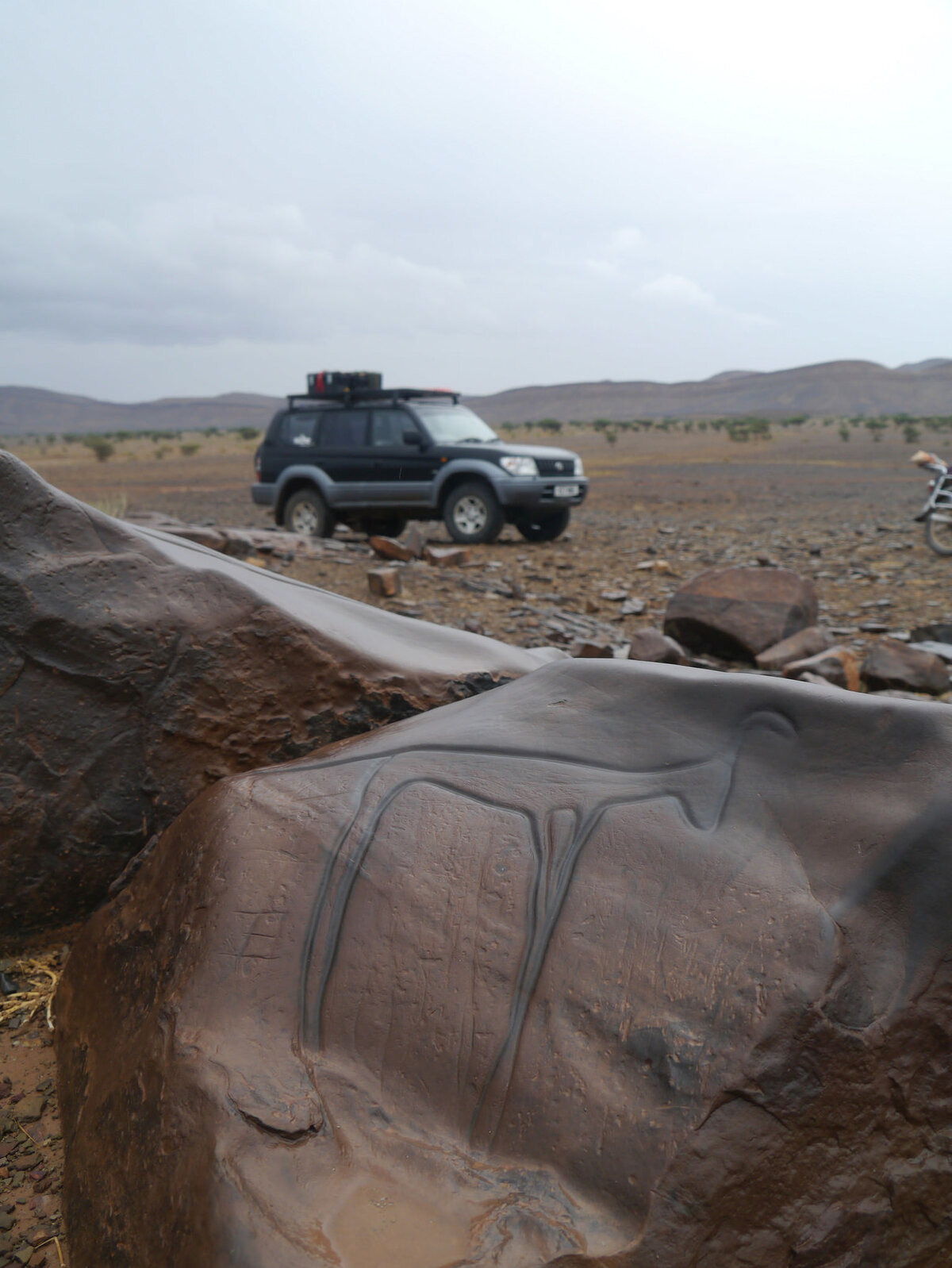
The carvings were amazing, depicting some of the wildlife in the area at the time, rhino, antelope, ostritchs etc

30995796763_ce259fd95a_k.jpgP1100428 by Trackasylum, on Flickr

31768181726_79b5a7441e_k.jpgP1100430 by Trackasylum, on Flickr

31805426665_a57d18477b_k.jpgP1100440 by Trackasylum, on Flickr

31432924900_21d9867f96_k.jpgP1100443 by Trackasylum, on Flickr

31768118356_4fb9dac241_k.jpgP1100444 by Trackasylum, on Flickr

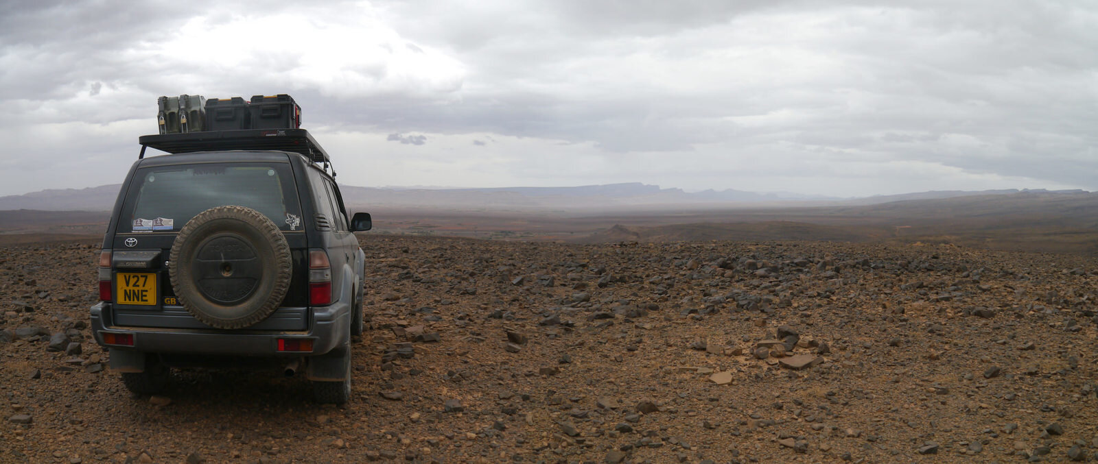
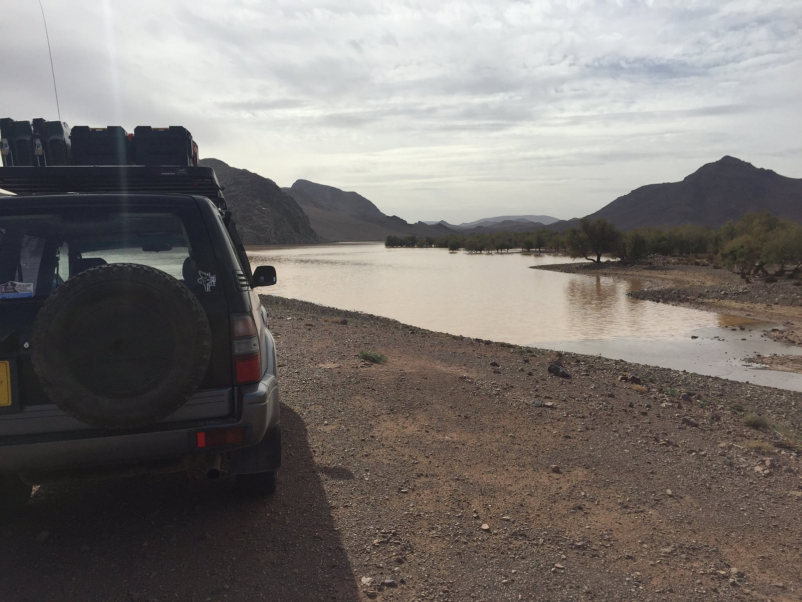
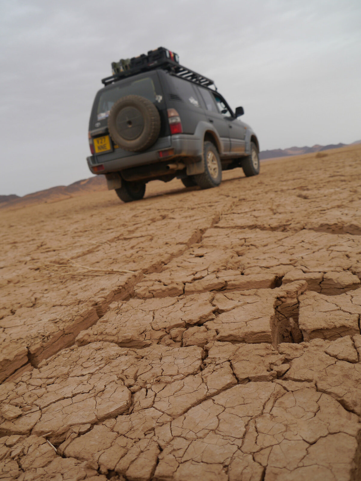
The rain left normally hard packed stone desert surprisingly soft and during the morning I a few flooded rivers to cross. Little did I know at the time it wouldn't be the last rain I'd see on the trip!

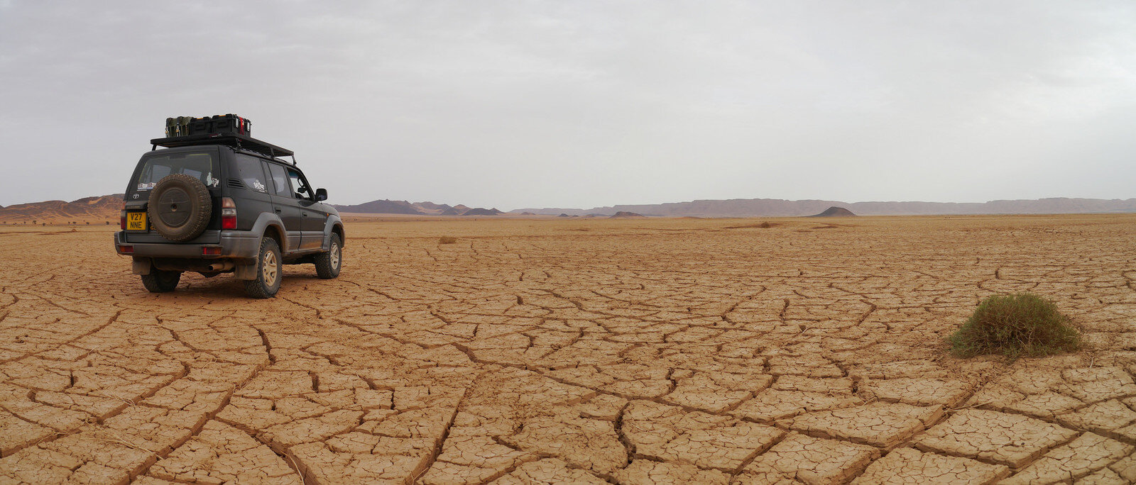
Desert View
31689007461_64504b6330_k.jpgP1100448 Panorama 1 by Trackasylum, on Flickr
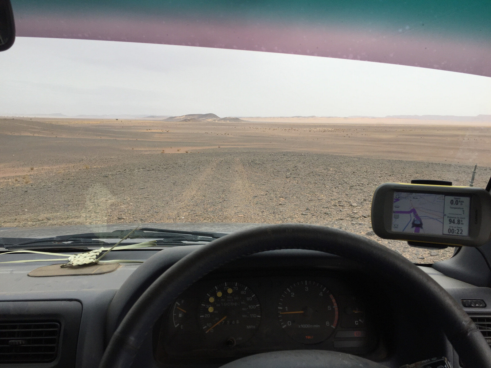
View from the drivers seat
31768242076_5206895272_k.jpgIMG_1128 by Trackasylum, on Flickr

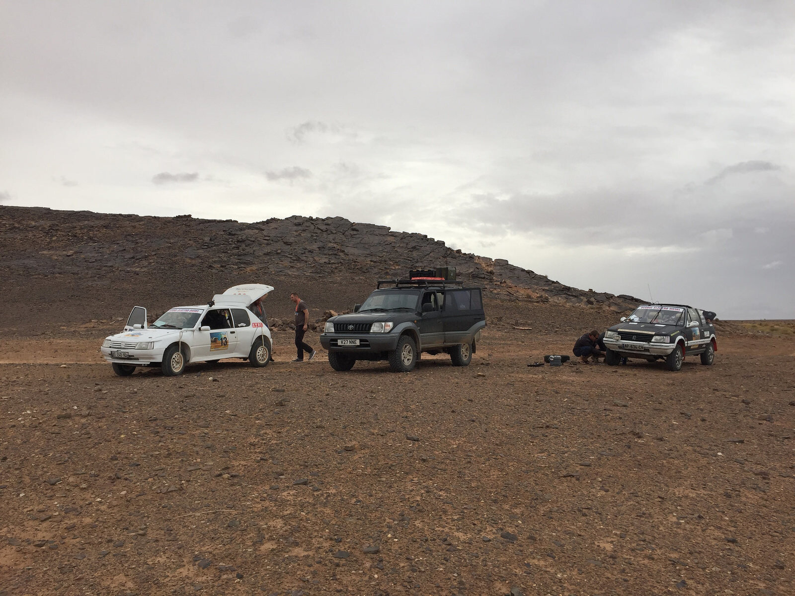
I'd seen a couple of vehicles in the distance and about mid afternoon found a Peugeot 205 convertible sat at the side of the track. They were taking part in a rally and had a puncture but couldn't revive the onboard inflation system. Quick 5 minutes with the tool and they were on the way.

31768236166_cd8a7a36f7_k.jpgIMG_1129 by Trackasylum, on Flickr

Lac Maider
30964619324_7f79268371_k.jpgP1100452 Panorama 1 by Trackasylum, on Flickr
30964711864_99ee2ec4e0_k.jpgP1100458 by Trackasylum, on Flickr

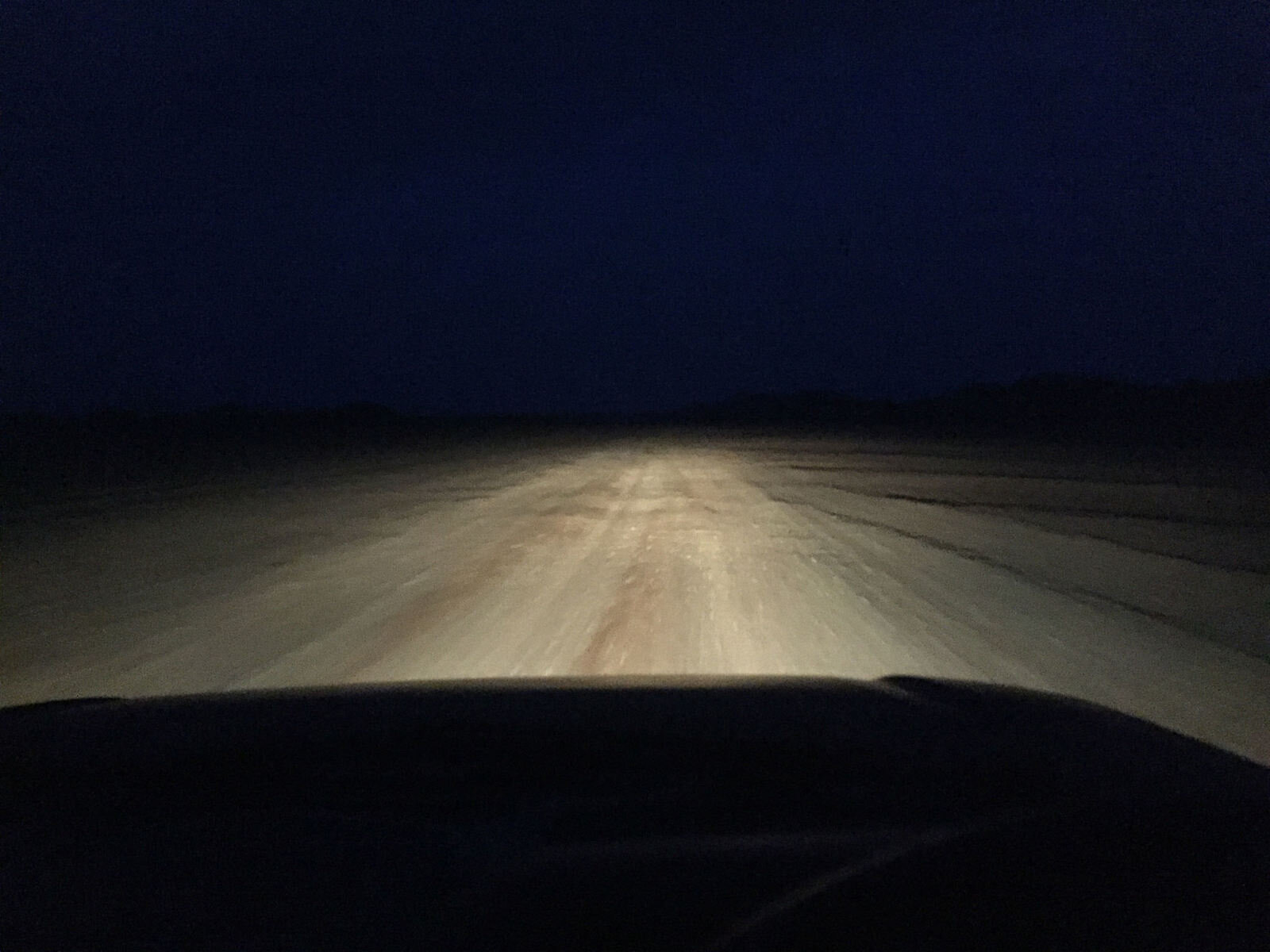
The weather, rock art and helping Peugeots meant time got away from me leaving the last 70km in the dark
30995845303_7d7f382f19_k.jpgIMG_1132 by Trackasylum, on Flickr
 
During a pleasant day off at the campsite in Erfoud I got chatting to the only other guest who was on their first trip to Morocco and really wanted to get down into the desert but they were in a rental Dacia Duster and didn't want to go alone, I quickly offered to go with them on an easy route back to Zagora, retracing my steps of the day before.

My diff had been making an increasingly worrying noise so it also gave me an excuse to drop back into Ali's for a check over.

31825183705_22a8b9a9d8_k.jpgP1100463 Panorama 1 by Trackasylum, on Flickr
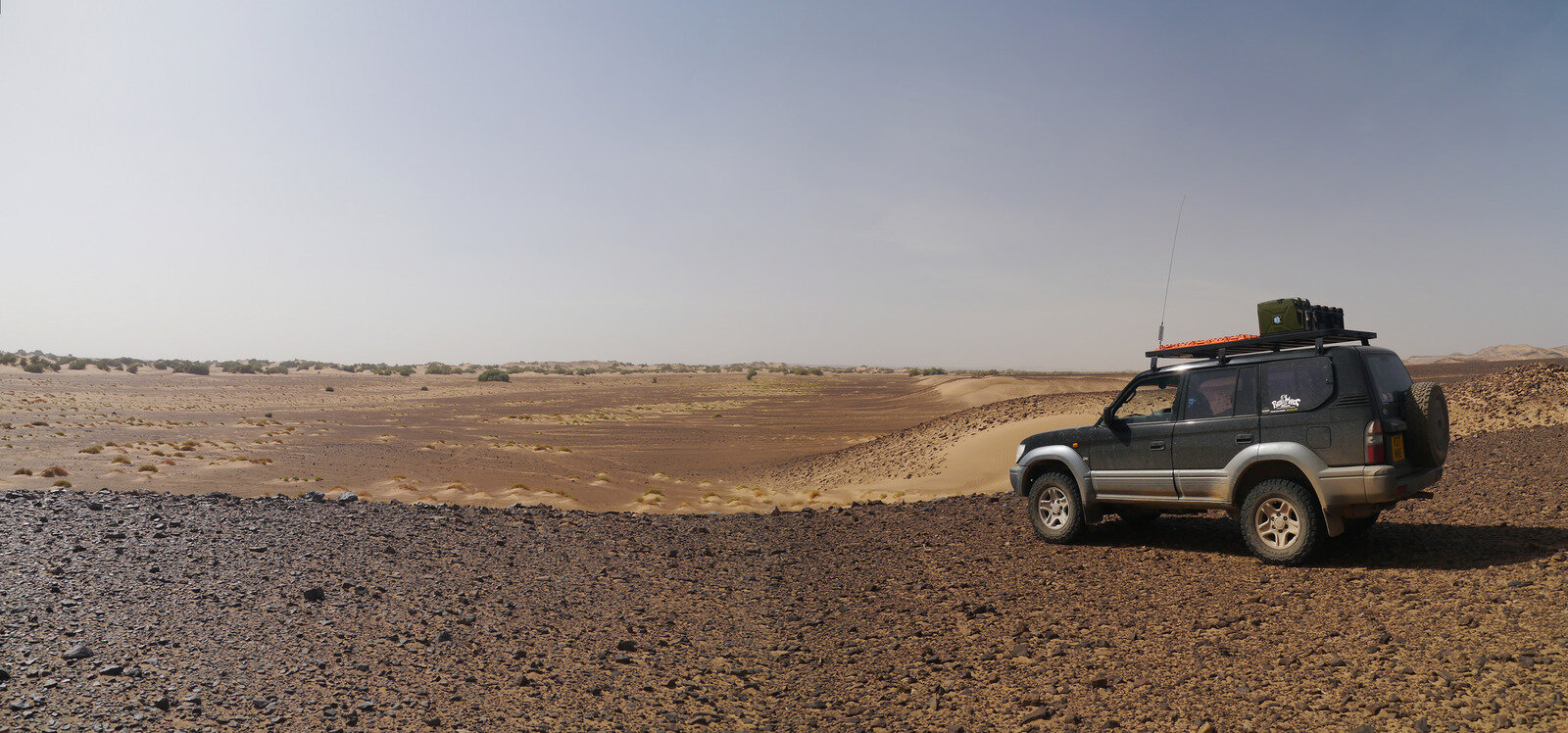
I picked a nice easy route but at this point the dunes had blocked the track so we spent quite a while looking for an alternative. The Duster got stuck once, not bad for a novice on road tyres!

31452367110_fa047dab64_k.jpgP1100469 Panorama 1 by Trackasylum, on Flickr
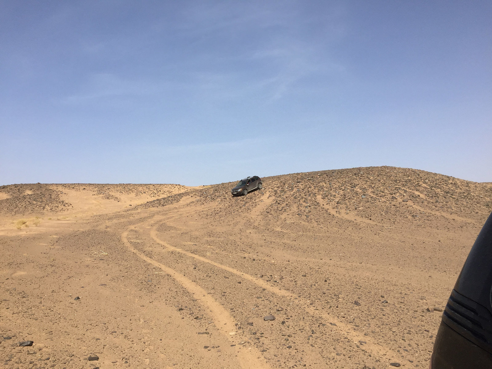
Duster going where some landcruisers don't!
31452446530_8de8585cc9_k.jpgIMG_1140 by Trackasylum, on Flickr

Wild camped that night just outside of Zagora and enjoyed the clear skies and stars

View from the campsite
30984816314_0a43082836_k.jpgP1100477 Panorama 1 by Trackasylum, on Flickr
 
Ali and the team, stripped the diff of the rear axle and gave it a thorough check. Rear UJ is worn and needs replacing and there was vertical movement in the pinion. Inspection of the bearings etc didn't reveal any problems so the diff was refitted and the pinion adjusted to remove the movement. On a test drive everything seemed OK and the noise had gone.

So I bid my farewells to the team and headed off on the next part of the trip. Almost mirroring an earlier route but several Km's north I followed a new route up through the Anti Atlas to Tazenacht before running along the edge of Jebel Sirou back to Taliouine. This last section was my first ever off road route solo back in 2011!

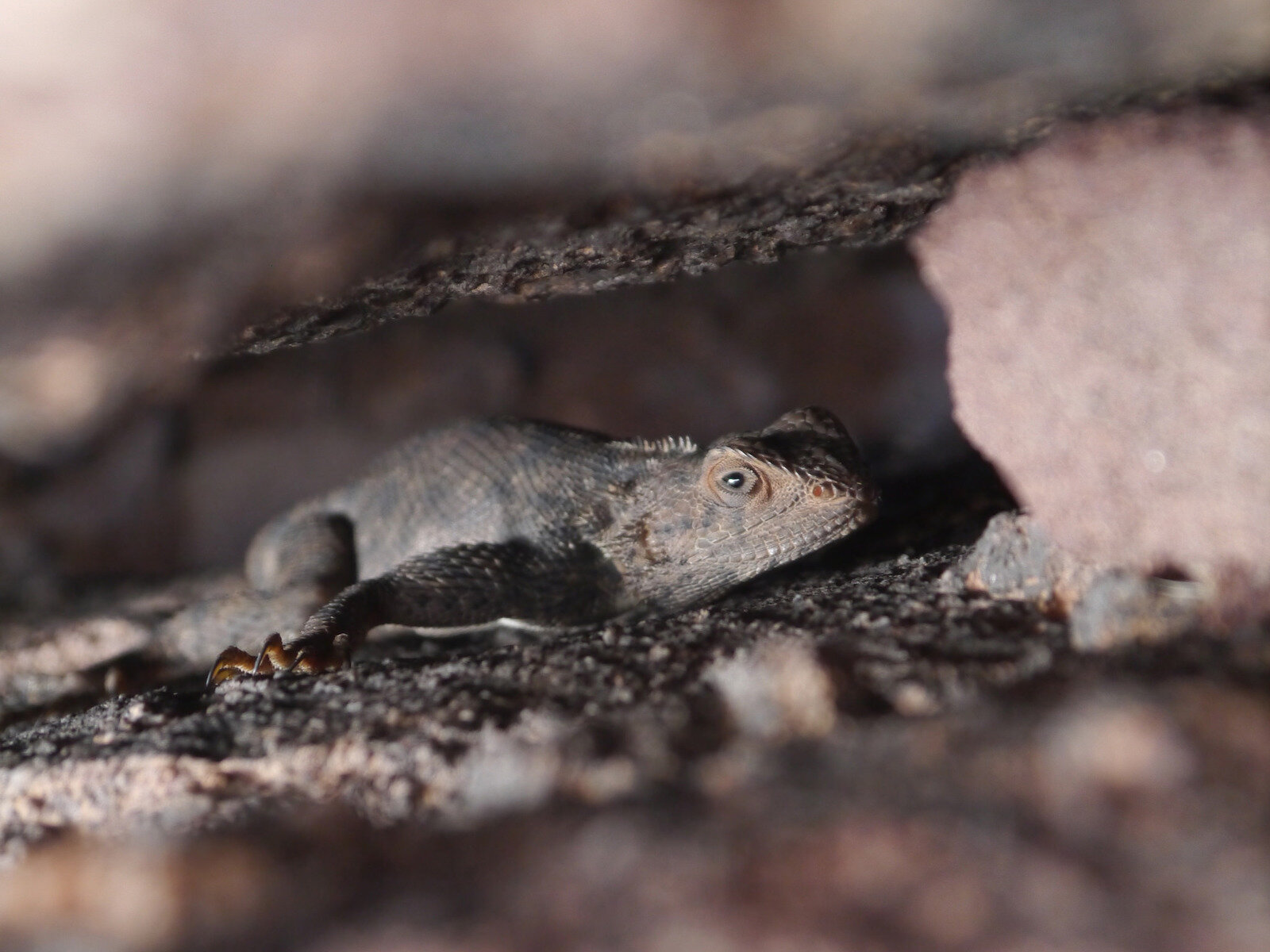
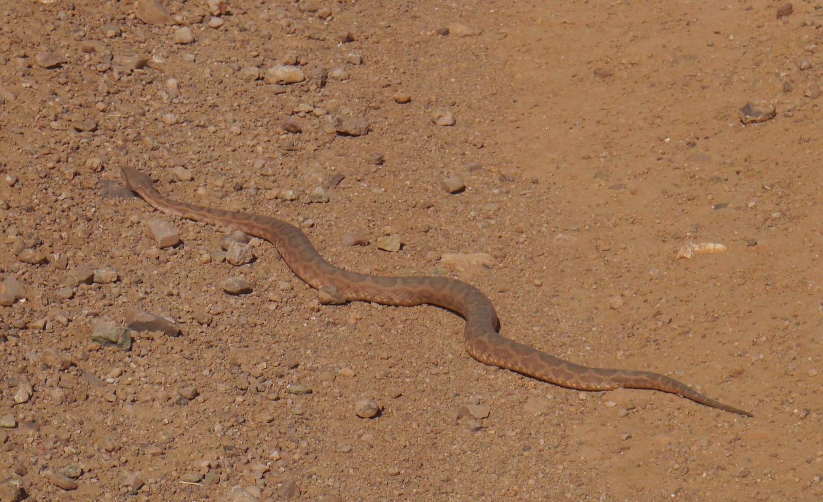
I've often wondered whywe haven't seem more snakes in Morocco as its perfect for them, but apart from a couple of small ones we have never really seen any. Today I found this monster filling the track!

Anyone know what type it is?
31844221455_23a48d8b4c_k.jpgP1100479 (2) by Trackasylum, on Flickr

View across the mountains
31471304520_584e7c019b_k.jpgP1100483 Panorama 1 by Trackasylum, on Flickr
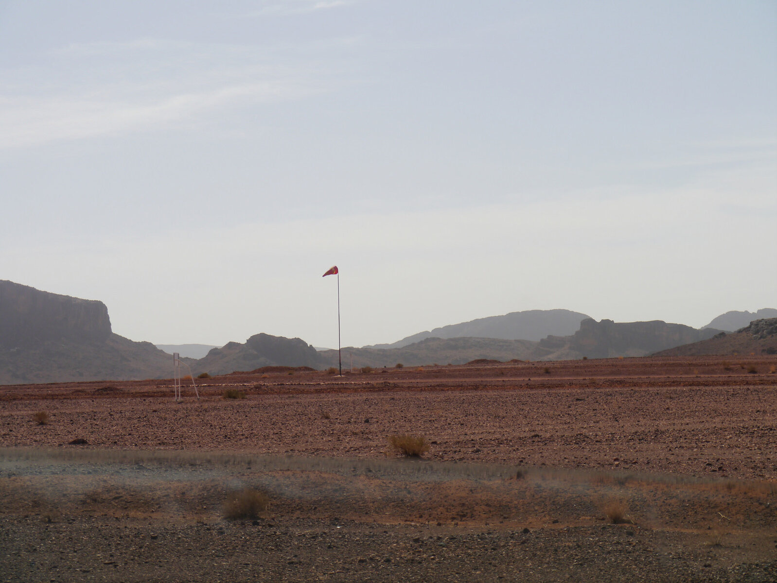
About half way up the first section there was a no entry sign blocking the route and an airfield that doesn't appear on any maps. The dirt runway was 2km so long enough for some fairly big plnaes
31727930481_f3a5f82050_k.jpgP1100485 by Trackasylum, on Flickr

Nice spot for a stop
31471380570_7c2ea5c6d4_k.jpgIMG_1144 by Trackasylum, on Flickr

Jebel Sirou views
31471323150_2923d2bac6_k.jpgP1100489 by Trackasylum, on Flickr

31727844001_8501582d38_k.jpgP1100490 Panorama 1 by Trackasylum, on Flickr
 
Great thanks George :D, my first reaction when I saw it was to grab the camera for some photos it was only afterwards I wondered if it was venomous!

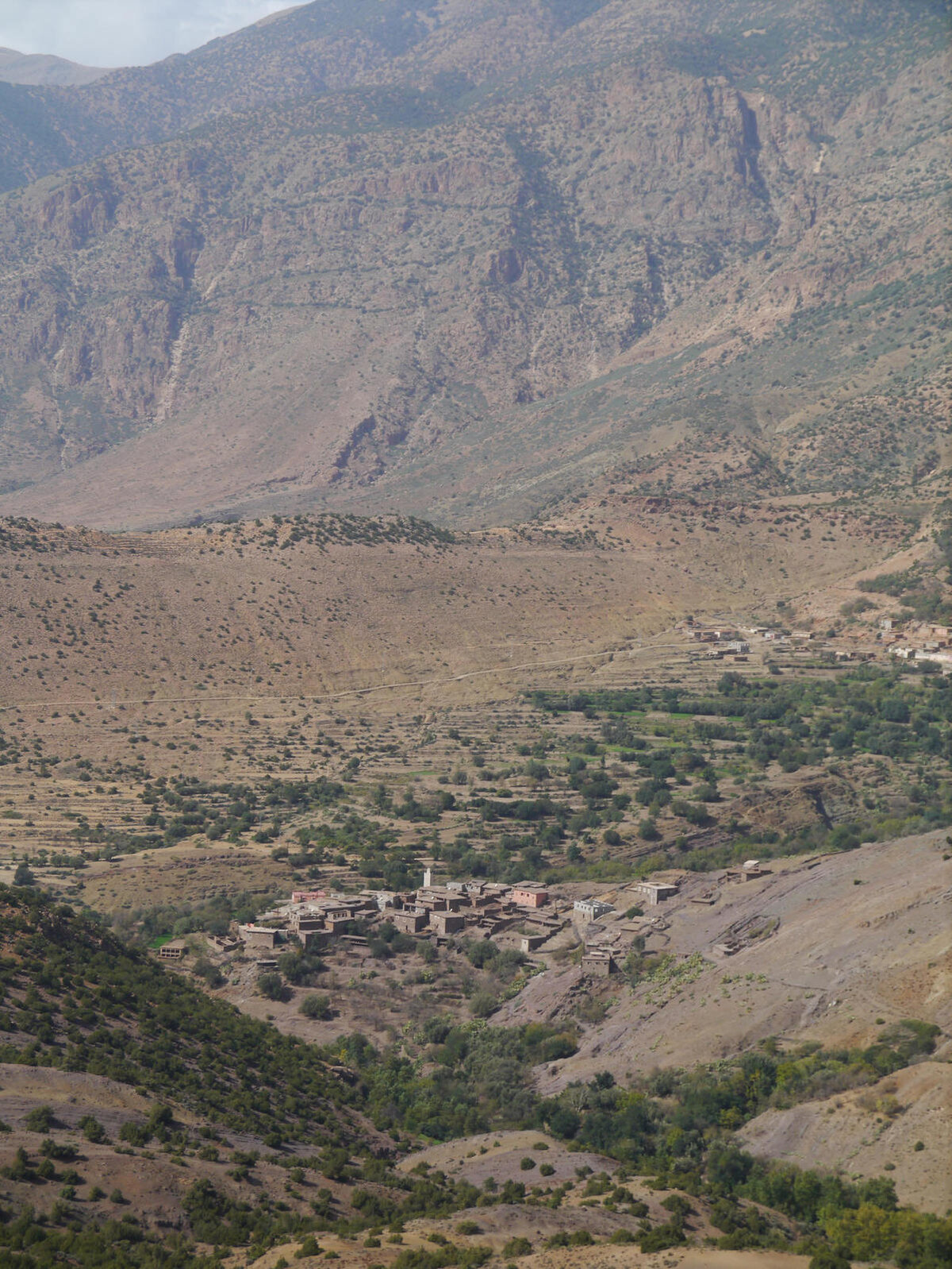
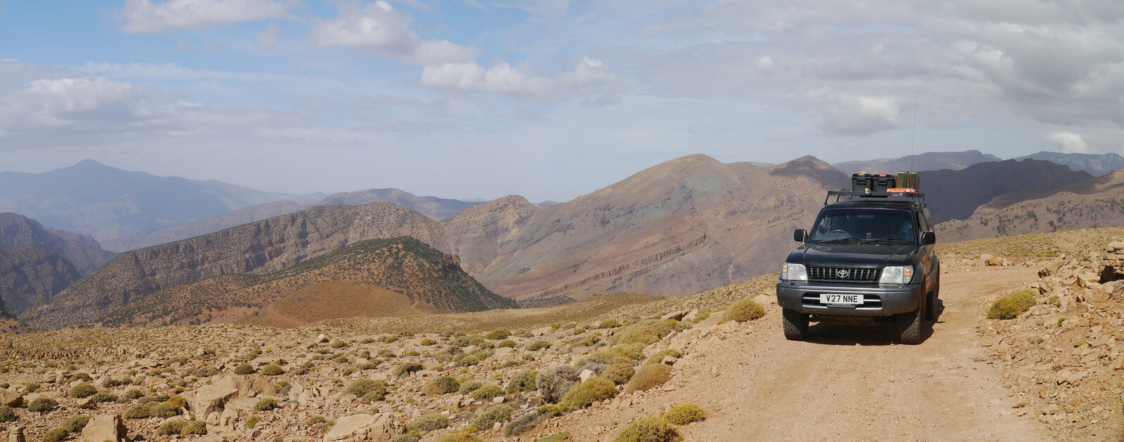
Basing myself in Taliouine for a couple of days the plan was to do a bit more exploration locally on day circuits. First up was the High Atlas again. With the rain over the previous week the mountains had a nice new capping of snow. The planned route was a circuit north of Aoulouz in the shadow of Jebel Toubkal. One planned section was possible as rain had washed the track away but a quick bit of replanning and a detour was plotted.

After a nice ascent the track turned back to tarmac the downhill section was surprisingly rough than the previous track, but would make a fantastic Pikes Peak style hill climb!

31102182173_d1608530a7_k.jpgP1100498 by Trackasylum, on Flickr

31101856743_1ed5a59faa_k.jpgP1100499 Panorama 1 by Trackasylum, on Flickr
31911282345_0196209c0a_k.jpgP1100505 by Trackasylum, on Flickr

31537591200_2cff3b3b7a_k.jpgP1100508 Panorama 1 by Trackasylum, on Flickr
31910424605_df9e7d1412_k.jpgP1100510 Panorama 1 by Trackasylum, on Flickr
 
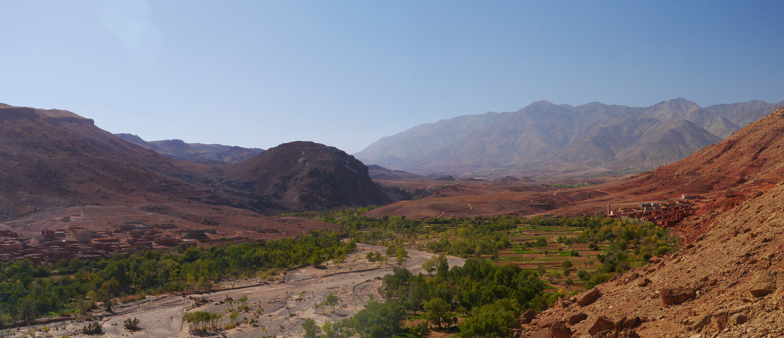
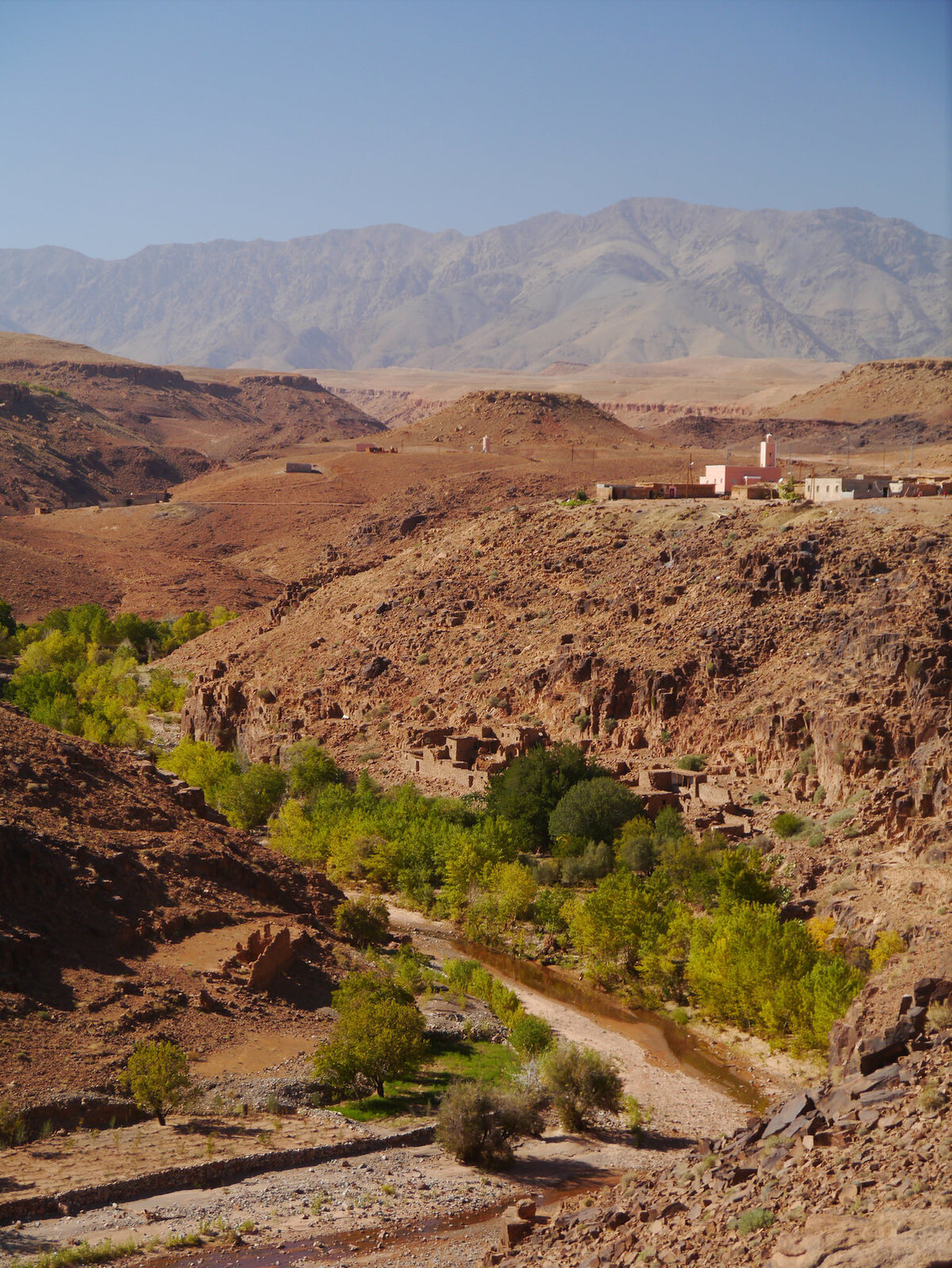
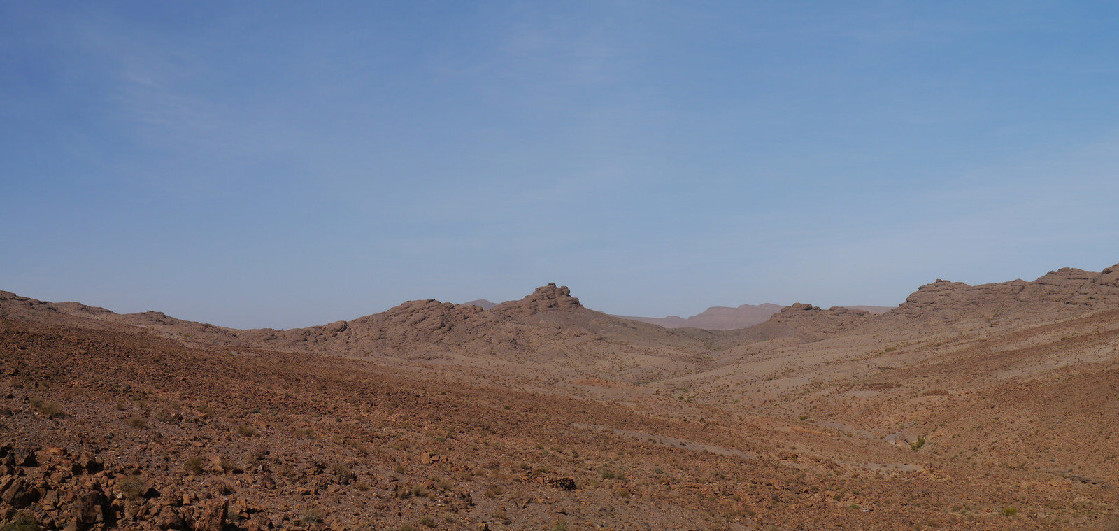
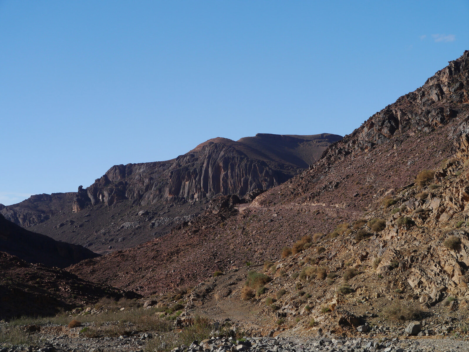
Day 2 of my Taliouine circuits was south into the Anti Atlas on a figure of 8 route. Once I got of the tarmac and into the mountains it was surprising to find that the scenery was much more reminiscent of the terrain in the Jebel Sahro

31593887330_c938b7819f_k.jpgP1100514 Panorama 1 by Trackasylum, on Flickr
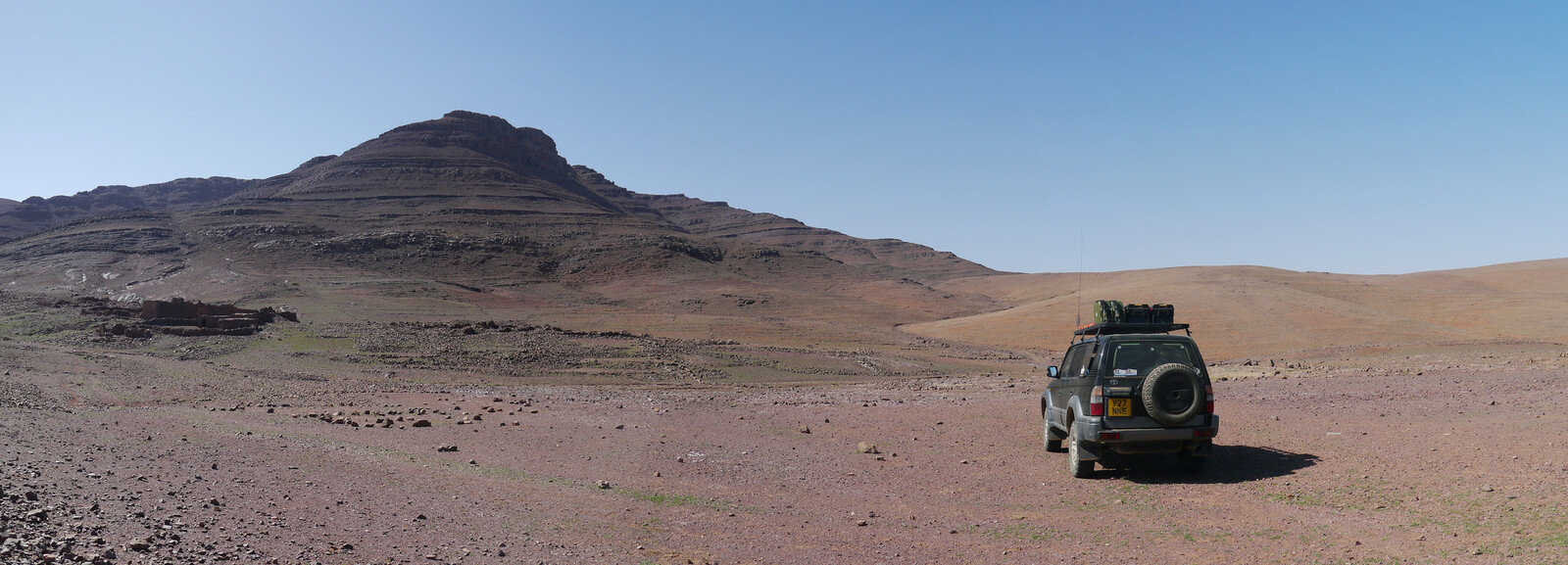
Here the track seemed to vanish on the ground but I just need to push on over the right hand side fo the mountain and it became much more obvious

31593685240_b0204d520c_k.jpgP1100520 Panorama 1 by Trackasylum, on Flickr

31930638986_8e37e073dc_k.jpgP1100535 Panorama 1 by Trackasylum, on Flickr
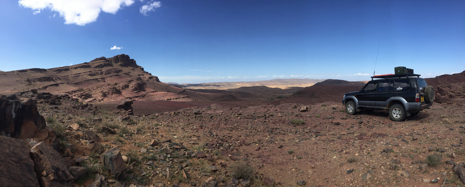
Stopped for lunch on this fantastic ridge
31594006910_a3db771e38_k.jpgIMG_1154 by Trackasylum, on Flickr

31930511256_8a9f992606_k.jpgP1100538 Panorama 1 by Trackasylum, on Flickr
31127673804_496bf1b41e_k.jpgP1100545 by Trackasylum, on Flickr

31127646364_641dfd8eb7_k.jpgP1100558 copy by Trackasylum, on Flickr

With progress a little slower than expected I cut the planned route short and headed back towards camp. Again the track had not been used for some time.

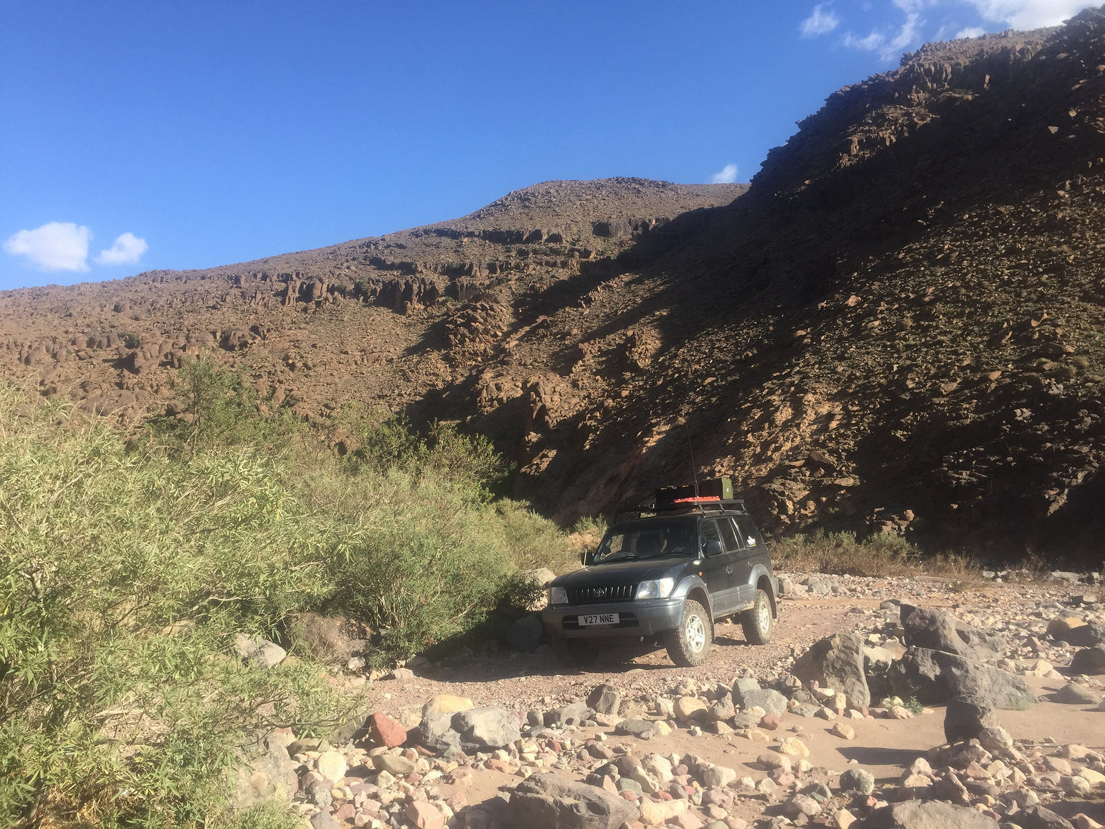
The drop down into this river bed was a little soft and tricky
31158368553_31095cf76a_k.jpgIMG_1159 by Trackasylum, on Flickr

But getting out of this next one was impossible, although the picture doesn't really show it
31593955230_a9e852d5a7_k.jpgP1100578 by Trackasylum, on Flickr

On the return back the way I came I managed to get stuck exiting the river bed, it was a sandy 90 degree turn up a steep slope and I just got the line wrong and the ack end slid sound jamming up against a rock, leaving forwards as the only option. Aired down and a quick bit of shovelling and I was back on the way again.
 
Back
Top