Don't like the adverts?  Click here to remove them

July 2013 - France/Italy Alps trip on the mountain trails and roads

Heading north, we left the road at Sampeyre taking a mountain track over to Sanfront.
This was one of roughest trails we drove and took a few hours, my wife had a great descent on her mountain bike from Colle del Prete (1716m) to Sanfront (500m). Sanfront was also woth looking around, a nice village.

so the trail

IMG_4970.jpg

IMG_4971.jpg


the wife on her lapierre mountain bike
IMG_4972.jpg


some locals on bikes and buggies
IMG_4973.jpg


IMG_4974.jpg


descending in low-range
IMG_4975.jpg


washouts
IMG_4976.jpg


After Sanfront we hit the tarmac for a longer drive on tarmac north to Sestriere, via Pinerolo
on the way we stopped at a hilltop fort for lunch and met one of the locals

IMG_4979.jpg


view from fort at Cavour, on plains near Turin
IMG_4981.jpg


Back in the mountains near Sestriere, we looked the massive Fort Fenestrelle - the worlds longest covered staircase
IMG_4983.jpg


after a stop in Sestreire, we headed up the Val d'Argentera, I knew this valley from our 2012 trip, there are lots of wildcamps spots, but it was saturday night, so lots of Italians were up for the weekend, so many wild camp spots taken, we found a good spot right by river, where we camped last year

IMG_4986.jpg


IMG_4988.jpg


got the BBQ out
IMG_4992.jpg


and campfire going
IMG_4996.jpg


these 120 feel the chill easily....
IMG_4997.jpg


great fire
%255BUNSET%255D.jpg


next morning there were lots of blue butterflys around
IMG_5001.jpg


we decided to have a rest-day from driving, and leave camp setup and explore on Bike (cooks) and hiking (Taylors)
IMG_5002.jpg


IMG_5006.jpg


the bike ride started uphill...

IMG_5009.jpg


IMG_5010.jpg


IMG_5011.jpg


a great valley
IMG_5012.jpg


but hard work without an engine
IMG_5013.jpg


nice plants
IMG_5014.jpg


IMG_5016.jpg


IMG_5021.jpg


then on way down i took the singletrack trail on otherside of the river - fanastic mountain biking trail
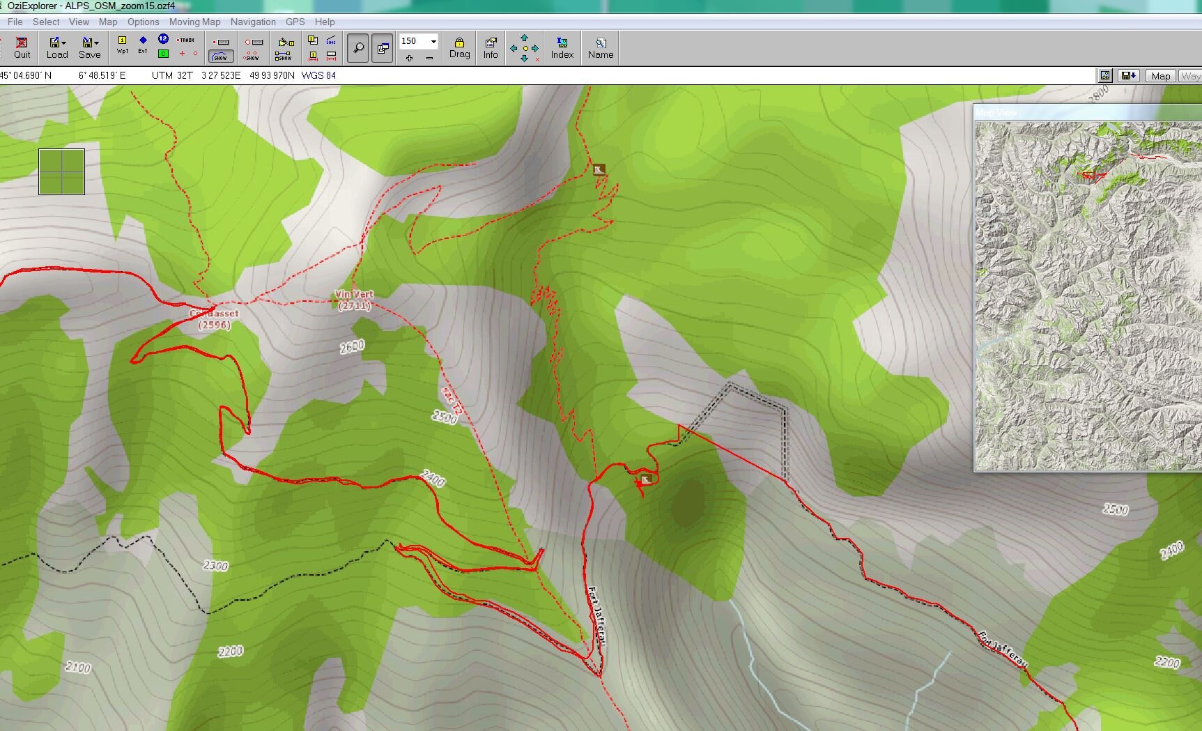
 :icon-twisted:

IMG_5025.jpg


IMG_5027.jpg


IMG_5029.jpg


IMG_5033.jpg


%255BUNSET%255D.jpg


%255BUNSET%255D.jpg


Val d'Argentera
%255BUNSET%255D.jpg


IMG_5035.jpg


%255BUNSET%255D.jpg


we came across a mountain refuge with bar and restuarant, and sleepy locals
IMG_5036.jpg


and then on radios arranged to meet our friends here for a Cold one, after their hike
IMG_5038.jpg


shower time
IMG_5041.jpg


and another BBQ
IMG_5042.jpg


the next day we headed back to Sestriere, and started on the Strada del'assietta http://www.stradadellassietta.it/
a trail nearly 60km long, much over 2000m

IMG_5045.jpg
 
Last edited:
more info on Assietta Road

http://www.dangerousroads.org/italy/285-the-assietta-road-italy.html

IMG_5046.jpg


IMG_5047.jpg


Strada dell'Assietta
IMG_5049.jpg


IMG_5051.jpg


IMG_5052.jpg


IMG_5053.jpg


IMG_5054.jpg


IMG_5055.jpg


on Strada dell'Assietta - with Mont Jafferau - the next days trail behind on right
IMG_5056.jpg


this trail was busy with mountain bikers and also lots of motobikes - many from UK, who met for the annual Stella Alpina the day before. nice guys we met and chatted with them a couple times over next 2 days.

IMG_5057.jpg


wartime forts from 1700 - battle of Assietta, between france and piedmonte-austro
IMG_5059.jpg


IMG_5060.jpg


IMG_5061.jpg


lunchspot over 2000m
IMG_5064.jpg


history lesson
IMG_5065.jpg


fort Gran Serin, 1km away, but no entry sign on the trail... :icon-cry:, didnt stop the motorbikes though..
IMG_5066.jpg


IMG_5067.jpg


IMG_5068.jpg


we drove this section in cloud last year, so nice to see the views this time :icon-biggrin:
IMG_5070.jpg


IMG_5071.jpg


IMG_5074.jpg


exploring Fort Serre-Marie
IMG_5076.jpg


down to the magazine, deep underground
IMG_5078.jpg


IMG_5080.jpg


IMG_5082.jpg


view over to Fort Fenestrelle
IMG_5084.jpg


IMG_5085.jpg


then on the trail at Colle delle Finestre and over 50 hairpin bends...
IMG_5086.jpg


herself cycled down
IMG_5087.jpg
 
So - after an overnight stop at campsite near Susa, we headed to the trails that were the highlight of the trip for me
Fort Pramand, the wartime, dark Tunnel Monte Seguret, and Fort Jafferau @2800m (we were stopped by snow blocking the trail at Col Basset 2596m a few km from fort in 2012)

info on trail
http://www.dangerousroads.org/italy/282-monte-jafferau-italy.html

the fort Jafferau trail is prone to rockfalls, so can be tricky in places
IMG_5088.jpg


side-trail, which was steep and exposed and tippy in places to Fort Pramand
IMG_5090.jpg


this fort was used in 1700's then again in WW2 - where top of fort was covered in concrete and heavy artillery guns placed on top
IMG_5092.jpg


IMG_5094.jpg


IMG_5095.jpg


these french couldnt get their truck up the trail to Fort Pramand or through the tunnel
IMG_5096.jpg


this rockfall was tricky last year, but repair work made it easier to pass this time
IMG_5097.jpg


IMG_5098.jpg


IMG_5099.jpg


into the Dolomite cliffs and caves area now
IMG_5101.jpg


small tunnel on track to Fort Jafferau
IMG_5102.jpg


the start for the long unlit, muddy dark tunnel
IMG_5103.jpg


the other end
IMG_5107%2520%2528Medium%2529.JPG


IMG_5109%2520%2528Medium%2529.JPG


and upto the Col Basset 2596m - luckily the snow had been dug away off trail this year (I knew this from talking to a Czech overlander a few days prior to arriving here)
IMG_5110.jpg


and onwards and upwards to Fort Jafferau
IMG_5111.jpg


IMG_5112.jpg


IMG_5113.jpg


IMG_5114.jpg


parked at 2800m
IMG_5116.jpg


fort Jafferau
IMG_5117.jpg


IMG_5118.jpg


met the Brits and Austrians, Germans from Stella alpina meet again
IMG_5119.jpg


IMG_5120.jpg


IMG_5121.jpg


BMW flat twin 1980's
IMG_5122.jpg


IMG_5123.jpg


IMG_5124.jpg


wife descending on mountain bike
IMG_5125.jpg


Fort Jafferau beyond the LC's
IMG_5126.jpg


IMG-20130716-01039%2520%2528Medium%2529.jpg


IMG_5127.jpg


our wildcamp spot temporaily invaded by Austrian 4x4 tour group - by an old fort next to the tunnel, and Grottes
IMG_5129.jpg


we camped here last year @2300m, fantastic spot, my favourite wildcamp spot!
we spoke to a couple Italian rangers and shared a cold beer with them, they told us about the golden eagles we had seen, and said there were 20 wolves living in the valley. we scared poor Josh later by playing a wolf howl sound clip off phone plugged into car stereo - my wife swears she heard a wolf howl back. :lol:

IMG_5130.jpg


the austrian tour leader in a Troopie
IMG_5131.jpg


hilux
IMG_5132.jpg


jeep
IMG_5133.jpg


landy
IMG_5134.jpg


camp to ourselves
IMG-20130716-01040%2520%2528Medium%2529.jpg


the massive rockfalls and caves that the tunnel passes under :shock:
IMG-20130716-01041%2520%2528Medium%2529.jpg


IMG-20130716-01044%2520%2528Medium%2529.jpg


another BBQ and campfire
IMG_5135.jpg


solar shower
IMG-20130716-01046%2520%2528Medium%2529.jpg


bike
IMG_5136.jpg


fort
IMG_5137.jpg


caves
IMG_5140.jpg


campfire
IMG_5143.jpg


IMG_5144.jpg


where are the wolves!
IMG_5146.jpg


and we had a dare to see who could walk furthest into the tunnel
IMG_5148.jpg


13yrd old Laura won!
IMG_5150.jpg


flowers on dolomite boulders
IMG_5151.jpg


Next day we travelled down to Bardonecchia and onto Col del Sommeiller, at an elevation of 2,993 meters above the sea level,

info

http://www.dangerousroads.org/france/216-colle-del-sommelier-france.html
 
And so the Col du Sommelier trail

http://www.dangerousroads.org/france...er-france.html

IMG_5158.jpg


IMG_5159.jpg


IMG_5160.jpg


IMG_5161.jpg


IMG_5162.jpg


pretty cold up here
IMG_5163.jpg


a french truck
IMG_5165.jpg


we got to within 1km of the col, and a altitude of just over 2800, before meeting blocked trail by snow. the trail stops at col anyway, so we would have to turn around anyway, but shame not to get the trucks to 3000m
IMG_5167.jpg


IMG_5168.jpg


Col du Sommelier
IMG-20130717-01047%2520%2528Medium%2529.jpg


IMG_5170.jpg


IMG_5171.jpg


we had to drive around one snowfield on way up and down
IMG_5172.jpg


IMG_5173.jpg


IMG_5174.jpg


and then we met the austria Group again
IMG_5179.jpg


bit of flex
IMG_5180.jpg


then it rained and hailed
as she rode down ..

IMG_5181.jpg


and across the dam
IMG_5183.jpg


So that was the end of the trails in the Landcrusiers, my wife and I then spent a day watching the tour de france at L'Alpe D'huez, a historic stage as they climbed the Alpe twice.
we drove over Col Du Glandon and parked at Oz Station and after aborting riding over to the alpe (too steep) we took the ski lifts!

IMG_5186.jpg


a previous years messages
IMG_5188.jpg


Col du Glandon
IMG_5189.jpg


the hard way to L'Alpe D'huez, we soon aborted!
IMG_5192.jpg


the easier way up
IMG_5195.jpg


IMG_5196.jpg


L'alpe D'huez
IMG_5198.jpg


DH bike course to ride down :icon-cool:
IMG_5200.jpg


IMG_5202.jpg


the end of stage podium and finish line
IMG_5205.jpg


IMG_5206.jpg


IMG_5208.jpg


1km banner
IMG_5210.jpg


movistar
IMG_5211.jpg


having a beer
IMG_5212.jpg


and another
IMG_5231.jpg


watching the pre-race caravan
IMG-20130718-01049%2520%2528Medium%2529.jpg


our viewing spot at 2km banner
IMG_5213.jpg


norwegian supporters corner
IMG_5214.jpg


team sky car
IMG_5217.jpg


IMG_5227.jpg


the peleton, took video mostly
IMG_5229.jpg


IMG_5230.jpg


George moved down to barrier for 2nd pass of the race
IMG_5233.jpg


%255BUNSET%255D.jpg


Mark Cavendish tired
IMG_5234.jpg


Cavendish after race
IMG_5235.jpg


and biking down to Oz station after race
IMG_5236.jpg


bivoauc at an Aire after TDF near Grenoble
IMG_5237.jpg


wine shopping at Meursault (Beaune)
IMG-20130719-01054%2520%2528Medium%2529.jpg


IMG-20130719-01058%2520%2528Medium%2529.jpg


IMG-20130719-01059%2520%2528Medium%2529.jpg


making space in the truck for wine!
IMG_5238.jpg


exploring Bruges before ferry home
IMG_5242.jpg


IMG_5243.jpg


IMG_5244.jpg


IMG_5245.jpg


IMG-20130720-01060%2520%2528Medium%2529.jpg


IMG-20130720-01064%2520%2528Medium%2529.jpg


and home
IMG-20130721-01065%2520%2528Medium%2529.jpg


with some wine
IMG-20130721-01067%2520%2528Medium%2529.jpg


so - thats it Folks - another great trip :dance:

only 8 weeks today, until we depart for Morocco :icon-biggrin::icon-cool::clap::dance:
 
Last edited:
Great update! Looks like it was an awesome trip.
 
Don't like the adverts?  Click here to remove them
Nice one, I would so love to do something like that, but I have a problem in that my only time off is when everything will be snowed up :(
One day perhaps :)
Great trip, great report, thanks for sharing it with us
Steve
 
Nice! Great photos! Looks like you guys had a blast! What a beautiful part of the world!
 
Fantastic write-up and likewise the wonderful photos. Great bikes too and inspiring that you ride them up as well as downhill! Last time I climbed 1,000 m I wanted to die! Well done on all counts!


Sent from my iPhone 5 using Tapatalk
 
Is it one way? Didn't look like there was a passing place till a long way in? Steph would freak out going through there, she doesn't like the big road tunnels, I'd have to tell it was only 50 meters long :shifty:
 
no the tunnel is 2-way - there is almost a passing place
whilst i drove up trail to enterance i was looking across valley to see if i could see any vehicles approaching from west

Also I had full-beam on and 8 spot lights :icon-cool:

its 850m long
and goes under this:

IMG_5140.jpg

there were signs in Italian near the tunnel, may have said it was closed due to rubble inside :whistle: but i cannot read Italian :whistle:
and a group of motorbikers we met before the tunnel had come through and said it was OK

also I had driven the tunnel last year, so knew what to expect

The Tunnel goes into the mountain in a U-shape under the huge cave/landslide
 

Attachments

  • Capture.JPG
    Capture.JPG
    291.5 KB · Views: 132
Last edited:
I can't believe nobody said 'there's light at the end of the tunnel' toward the end of that great vid!

Enjoyed this!


Sent from my iPhone 5 using Tapatalk
 
The Frejus road tunnel we drove the day after this wartime tunnel (Bardonecchia > Modane) was pretty long too - seemed as long as the mont blanc tunnel

but at least the Frejus tunnel had 2-lanes of traffic, tarmac, no standing water or dripping water, no rubble or boulders and mud and it was well lit :)

Frejust tunnel:
http://en.wikipedia.org/wiki/Fréjus_Road_Tunnel

aha Frejus is 13km long, the Mt Blanc is 11.6km long

we drove a tunnel in Norway thas was longer
in fact 24.5km
http://en.wikipedia.org/wiki/Lærdal_Tunnel

that seemed to go on for ever - almost hypnotic after driving that!
 
superb write up on your trip andy, loved the photo's, i'm jotting down some notes here as im heading over to the alp region next week and have 4 weeks to explore so will hope to drive some of the col's and tunnels! Thanks for sharing!
 
Back
Top